50.603147, -1.199697
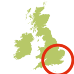
- Location: Isle of Wight
- Terrain: Hilly grass downland paths; lanes
- Height gain: 174m
- Map: OS Explorer OL29
- Starting point: Ventnor Down Car Park (Grid ref SZ 565 785)
- Activity Summary:
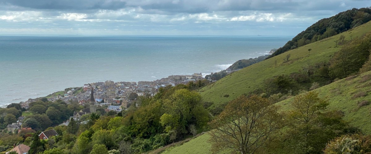
St Boniface Down is the highest point on the Isle of Wight with great views over the coastline at Ventnor. It is also home to the 7 centimetre-long great green bush-cricket which, from May to October, can be seen in the trees and grassland or their very loud sewing machine-like ‘song’ may be heard. Cricket-spotting may be combined with a fabulous circular walk from Ventnor Down National Trust car park, across Bonchurch Down and St Boniface Down. Some sections are steep but worth it for the views to Sandown Bay, Culver Cliffs, and across the island to Portsmouth. There is also the chance of bumping into the island’s feral herd of Old English goats on Bonchurch Down. The walk passes various World War II buildings and the RAF Ventnor Radar Station, which played an important role in the Battle of Britain.
- Route description:
From the Ventnor Downs Car Park follow the path anticlockwise around the perimeter of Ventnor Radar Station, keeping the fence on your left. Turn right by a tall mast signposted V1 then, after 45m pass through a gate and bear right on the ridge-line path towards Ventnor, which drops very steeply in places to Coombe Bottom.
Continue through the small wood and, at the industrial estate, turn left to reach the main road, then left again to walk 330m along Mitchell Avenue. Turn left on the path signed V110 through the woods just after the Ventnor Bowling Club. Follow the path along the southern edge of the wood. Avoid the gate at Bishop’s Acre and bear left uphill, keeping the fence to your right. When this fence heads downhill keep to the path straight ahead, followed by the left fork uphill.
Pass through a gate into the open downland, keep and keep to the path that undulates along St Boniface Down for 530m. At the junction with the path from the houses, take the path steeply uphill past the group of trees to find a much-needed bench. Pass through a gate and continue uphill, then follow the signpost V113 until it reaches a track. Turn left onto this track to an old car park and continue long its access track. Turn right through a gate signed V43, then almost immediately left along a path alongside the road. Turn left opposite the wartime shelter to return to the car park.
SEE MAP ROUTE BELOW
- Getting there: On foot – the Isle of Wight Coastal Path through Ventnor passes approx. 1km from the start of the walk and there are a variety of steep paths where you can easily join this route. By bus – regular services between Newport and Ryde. By car – leave the B3327 in Upper Ventnor on Down Lane (nearest postcode for car park is PO38 1YL).