No activities have been added for this island yet.
Baleshare
Share via...
57.528252, -7.368076
About Us

Hi and welcome to Islandeering Islandeering is for people who want adventure in Britain’s wild blue spaces – our rivers, coast, lakes, canals and islands. You will find amazing walks, paddles and swims in the UK’s most special places, those recognised for outstanding natural beauty, incredible geology or special and abundant wildlife.
Learn More
Learn More
Distance: 16 km
Difficulty: Easy
Method: Walking
Wow Factor: 7 out of 10
Key Facts
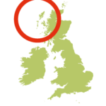
- Location: Outer Hebrides
- Size: 910 ha
- Terrain: Beach, tracks, small lanes
- Access: Causeway
- Height gain: 157 m
- Map: OS Explorer 454
- Starting point: Island causeway (57.540948, -7.352306)
- Accommodation/food:
Bed and Breakfast is available at Bagh Alluin. Food and further accommodation available on nearby North Uist and Benbecula.
- Island Summary:
A remarkably flat and tranquil island that few visit. Just south of the North Uist circuit and reached by a minor road and causeway this is an off-the-beaten-track sort of place that offers easy walking and cycling, one of the best beaches in the outer Hebrides and magnificent views from the island’s high point – the sand dune off the southern tip.
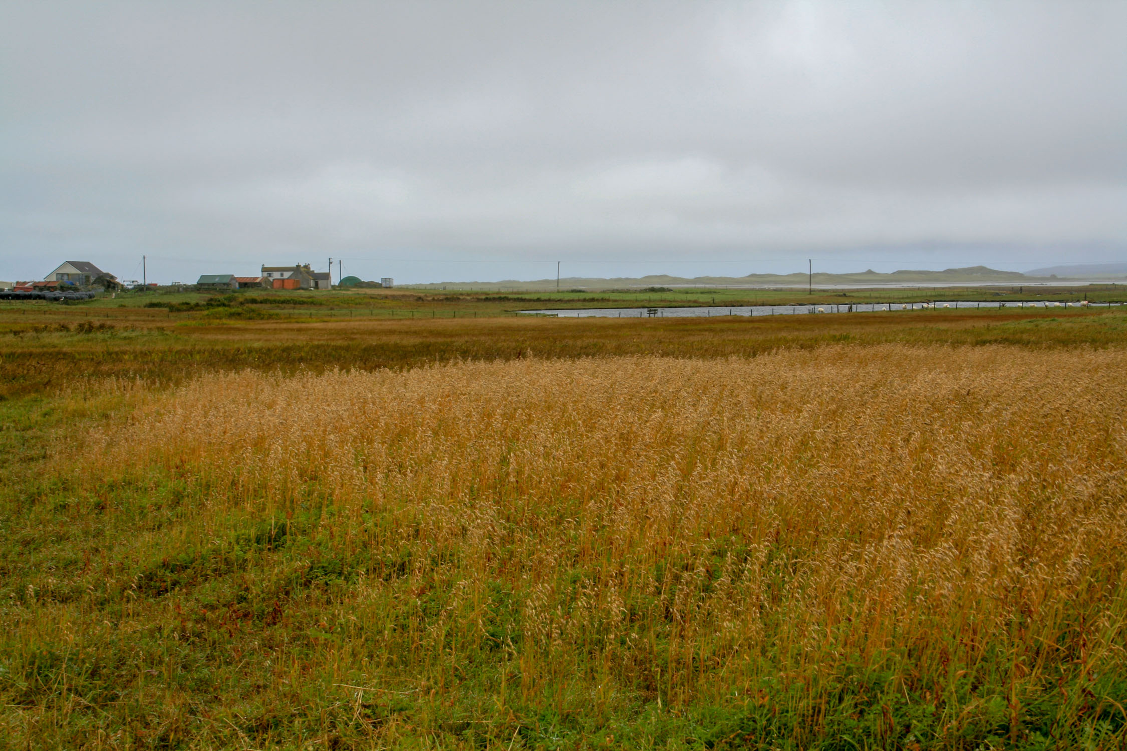
Baleshare means ‘east township’. It is thought that there once was a ‘west township’, but it was wiped out in a storm in the 1500s, leaving no trace. Most of the islands population of 50 or so, are clustered along the eastern shore, or scattered along the road running the length of the northern half of the island. The southern half of the island is totally empty and full of dunes, marshes and bird life.
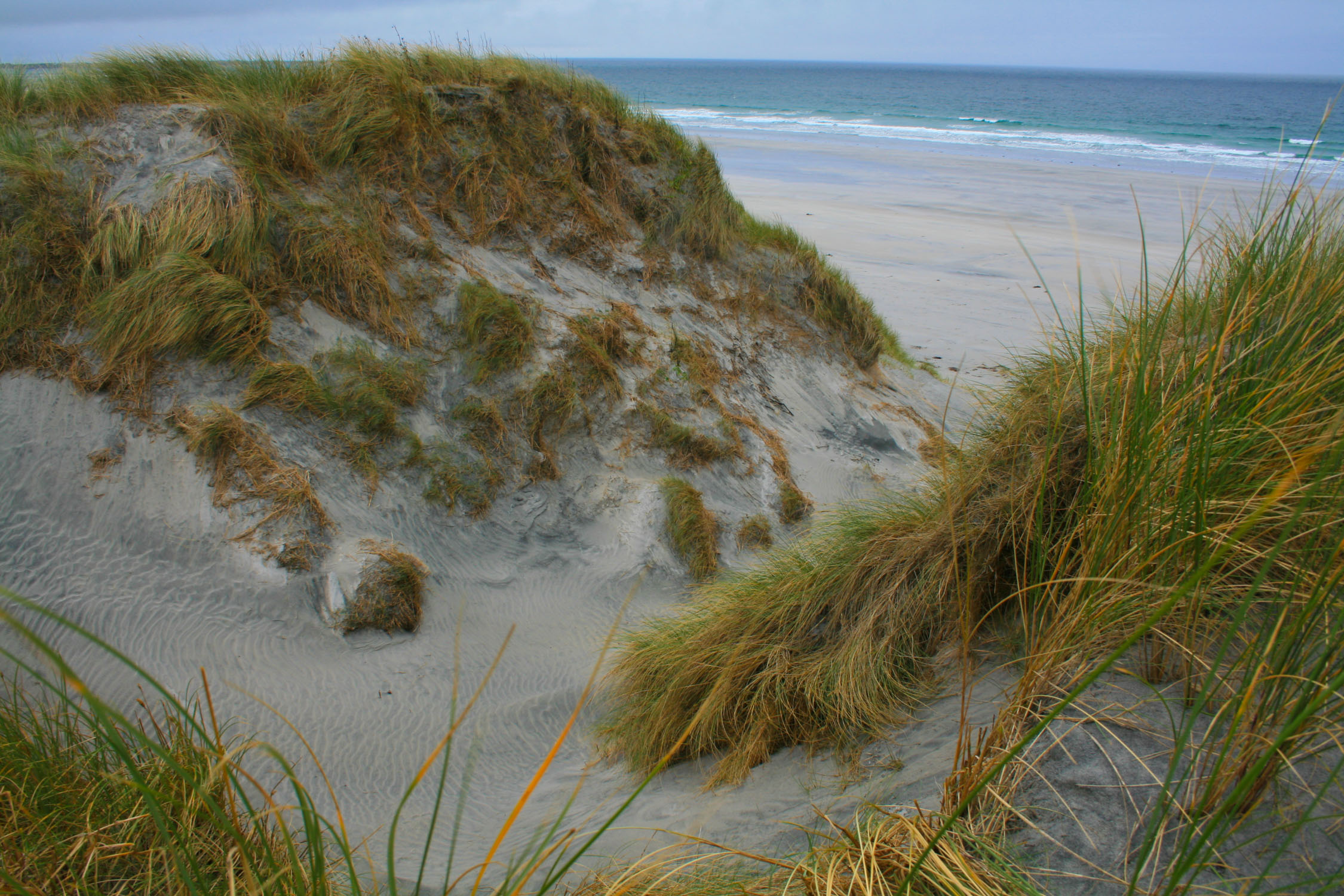
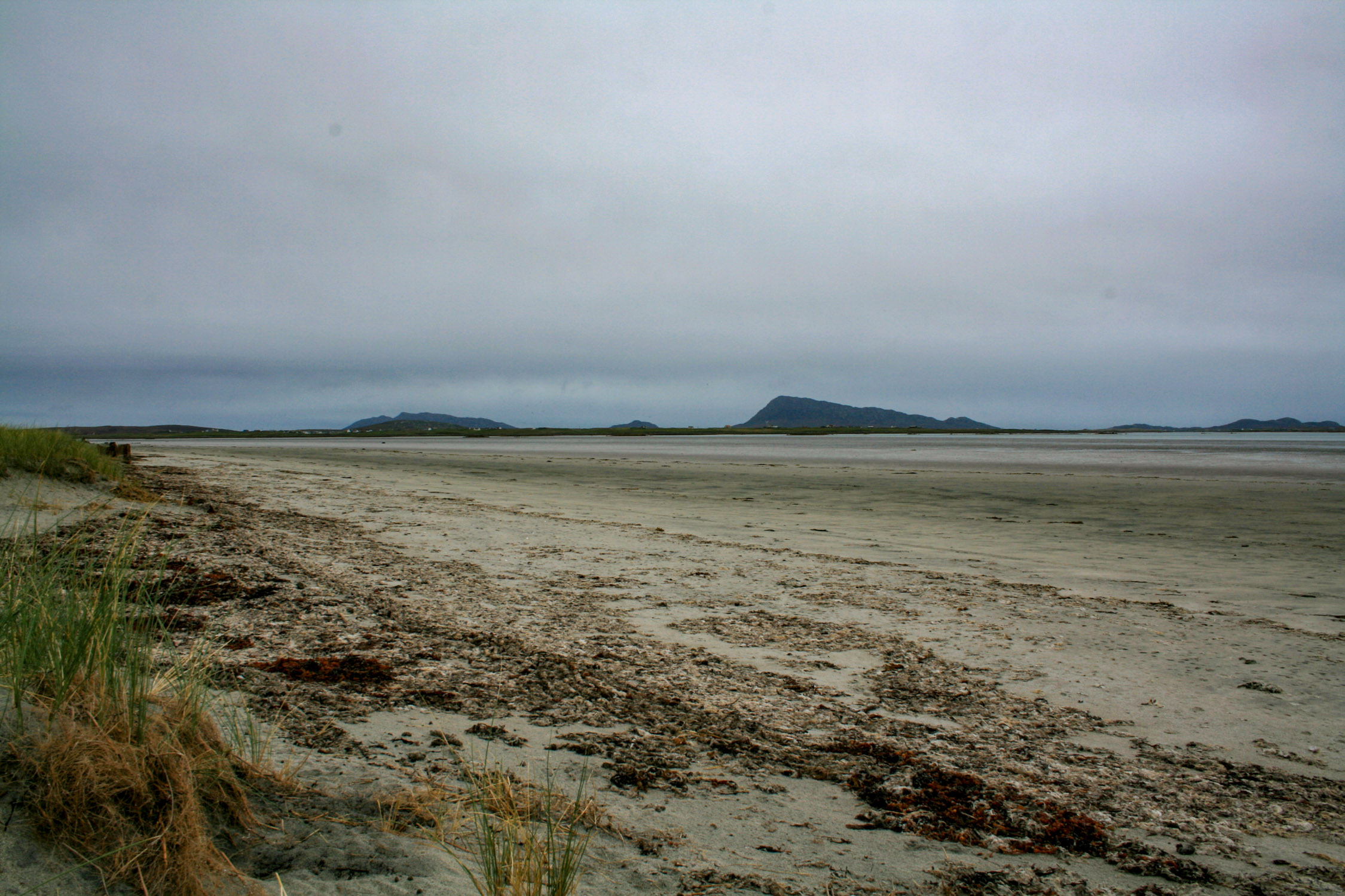
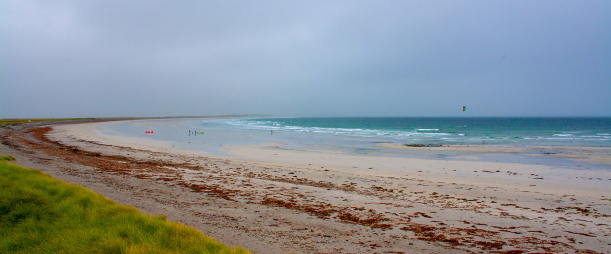
The incredible beach, 6 km of shell-white sand and shingle, runs alongside the thundering Atalantic. It is popular for all watersports and here you can be assured of getting a big patch of beach or surf to yourself. The wild dunes form a lofty spine along the length of the beach with untouched machair that is absolutely stuffed with wildflowers and insects. The views from the top of the dunes are magnificent. To the north is the low white line of North Uist’s beaches. To the south the shallow lagoon waters barely separate the beaches between Baleshare and Benbecula and on calm days beautifully reflect the landscape. In the far distance the mountains of South Uist rise out of the brown, wildlife-filled peat bogs and tidal streams.
The east coat is an expanse of wild salt marsh, sand flats and shallow tidal lagoon.
- Look out for:
- 6km shell-white beach
- Machair studded with wildflowers
- Walking the tranquil salt marsh
- Route description:
Starting at the road causeway the route loops around the first headland on the foreshore, crosses a small tidal inlet and then finds the farm lane to join the main island road in the north. At higher tides or for simpler navigation you can omit this part of the walk and use the island lanes to head directly to the beach on the west coast.
The lanes leading to the west coast are fringed by flat fields, grazing sheep and reeds of the crofted land.
Once on the west coast there is an easy track to follow that meanders along the base of the dunes that fringe the entire length of the beach. It is possible to reach the highest point on the southern tip, although this may require some ‘brush-bashing’ to get there. It is worth it though for the views across the shallow waters to Benbecula Airport.
The return leg up the east coast is easy walking. Flat terrain, short carpet-like grass and occasional bog-hopping before returning to the causeway on the island lane.
- Getting there:
Travelling south from the North Uist circular on the A865 turn right onto the minor road signed to Baleshare and continue to and over the road causeway (non-tidal).
There are Buses to Baleshare from Balvanich in Benbecula and Lochmaddy in North Uist.
Join our Islandeering community
We continuously find new islands, rivers, lochs, canals and coast to walk, SUP and swim in and meet plenty of great folks along the way. Join our community to get new routes and adventures, latest blogs and news by using the email box below. Tune in also to our Facebook and Instagram pages to see where we are going next.

Share via...
Gallery