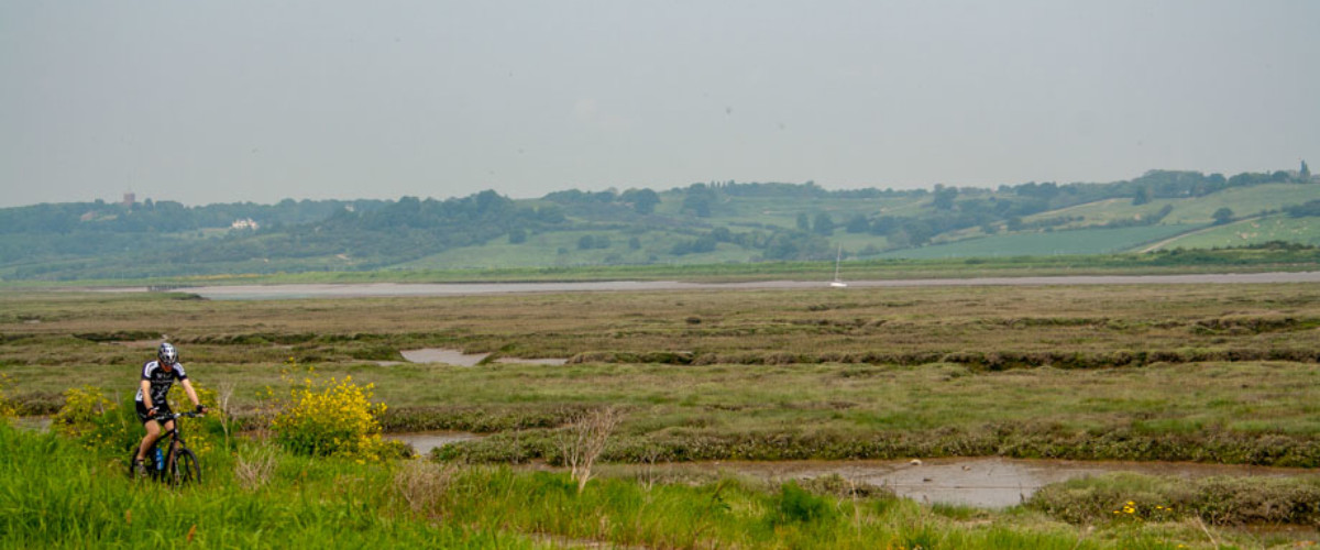
Cycle Canvey's coastal circuit
Cycle the flat, well-marked trail to see the best of the island
Learn More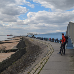

Cycle the flat, well-marked trail to see the best of the island
Learn More

Lobster Smack Inn, Windjammer pubs; Labworth Café and Concorde Beach Café
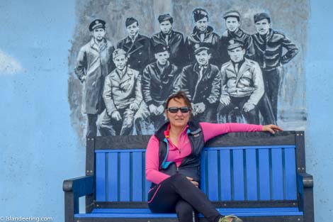
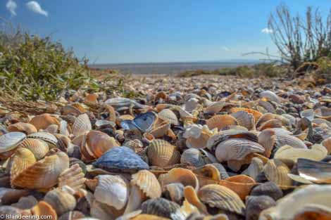
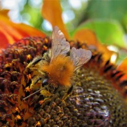
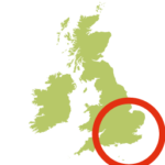
Quirky, independent and defined by the Thames Estuary Canvey lies on the north bank of the Thames between Basildon and Southend on Sea, just 25 miles from London. Most of the island lies below sea level and, despite being the fourth most populated island of England, it has a surprising amount of open space and two important nature reserves. Wild marshes, ancient inns, arty promenades and music royalty make a great day out from London.
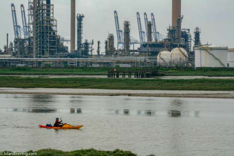
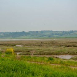
This clockwise walk or bike ride is on a flat well-marked trail along the sea wall that protects the island. Much of the route follows the creeks through the peaceful green marshes of the north and along the glistening bird-filled mudflats that are exposed at low tide in the south. A colourful section along the seawall of the Thames, with its art-deco café and murals, is followed by a fascinating insight into the island’s petrochemical heritage and Britain’s first nature reserve for bugs at Canvey Wick.
Rail: Benfleet station. Road: M25 to Junction 29; A127 east (Southend-on-Sea direction) for 13 miles; A130 south on to Canvey Island; at first roundabout, left to Benfleet station.
We continuously find new islands, rivers, lochs, canals and coast to walk, SUP and swim in and meet plenty of great folks along the way. Join our community to get new routes and adventures, latest blogs and news by using the email box below. Tune in also to our Facebook and Instagram pages to see where we are going next.