No activities have been added for this island yet.
Flodaigh
Share via...
57.476211, -7.265954
About Us

Hi and welcome to Islandeering Islandeering is for people who want adventure in Britain’s wild blue spaces – our rivers, coast, lakes, canals and islands. You will find amazing walks, paddles and swims in the UK’s most special places, those recognised for outstanding natural beauty, incredible geology or special and abundant wildlife.
Learn More
Learn More
Distance: 3.2 km
Difficulty: Easy
Method: Walking
Wow Factor: 4 out of 10
Key Facts
- Location: Outer Hebrides
- Size: 145 ha
- Terrain: Track, faint path
- Access: Road causeway from Benbecula
- Height gain: 111 metres
- Map: OS Explorer 453
- Starting point: Causeway (57.476333, -7.275858)
- Accommodation/food:
A range of food and accommodation on nearby Benbecula, North and South Uist
- Island Summary:
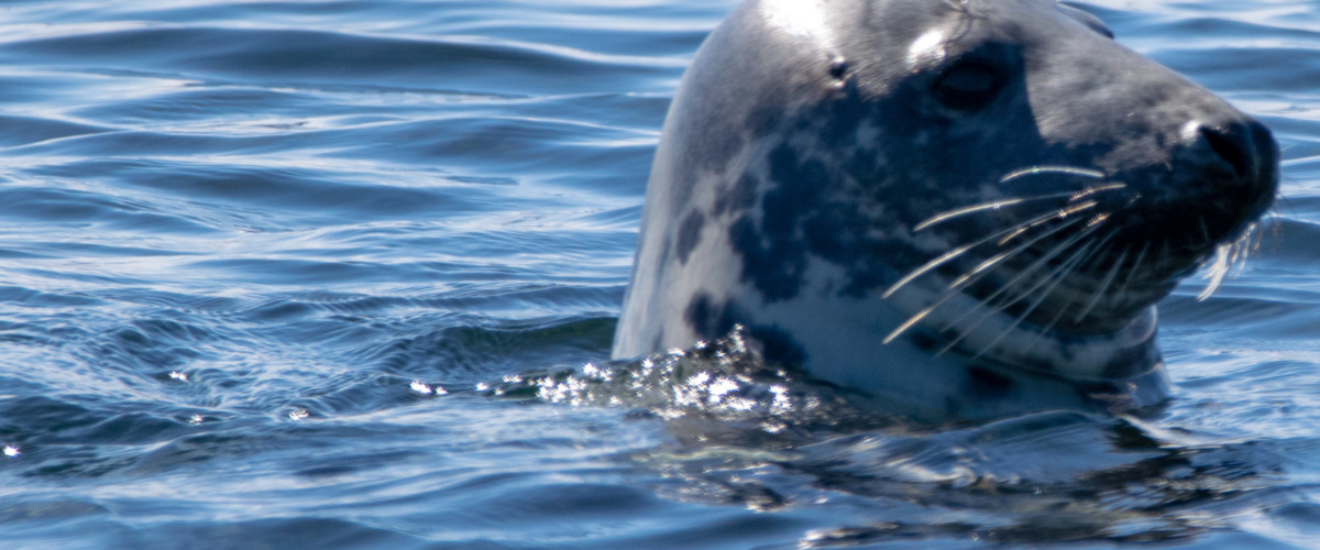
A small tidal island sitting off the northeast coast of Benbecula and south of Grimsay with a seal population that outnumbers its human residents.
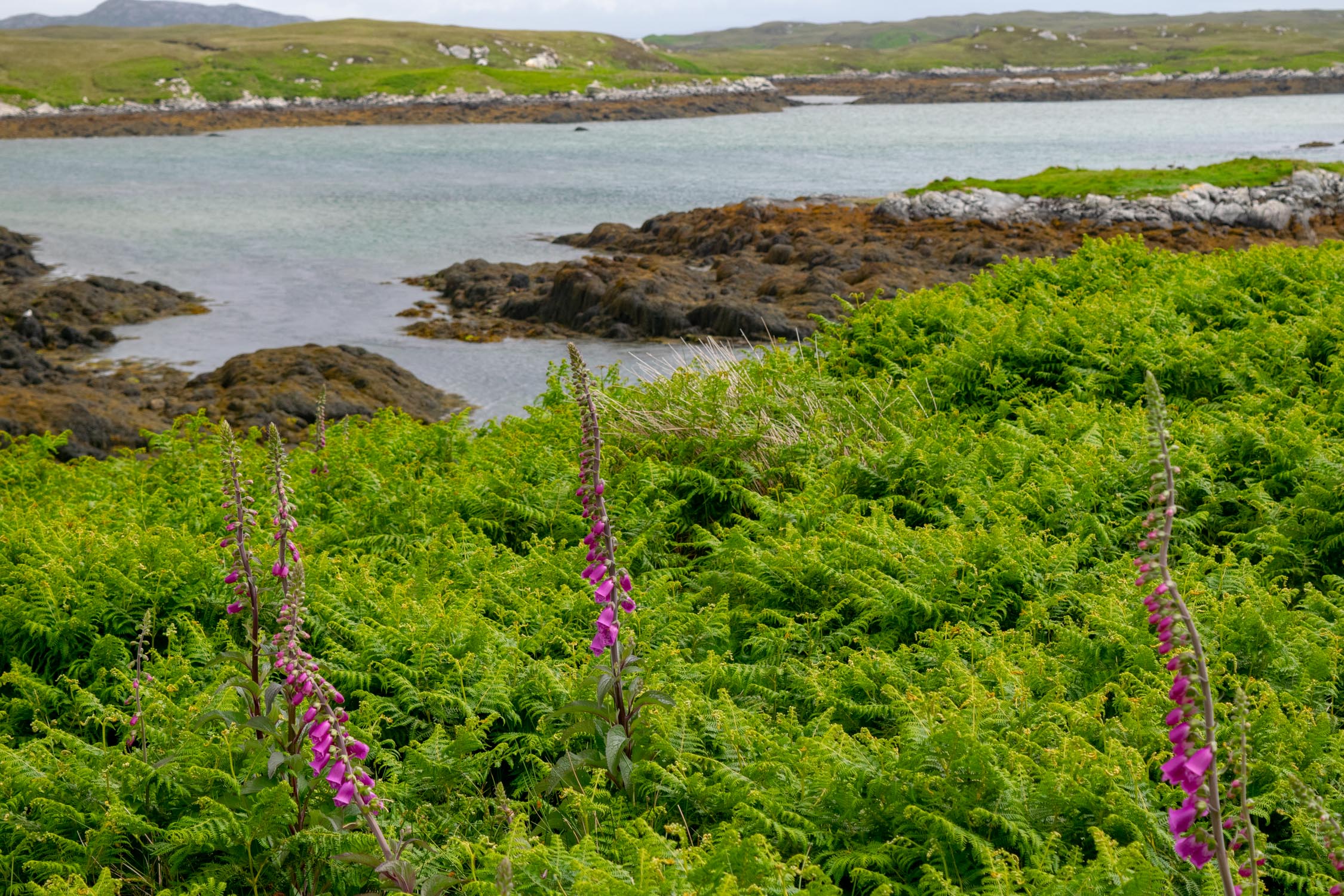
The island is a jumble of tidal channels, islets and mud banks that make the perfect home for birds, otters and seals – the best time to see seals is at low tide. Don’t forget your binoculars.
- Look out for:
- Spotting seals on the islet of Lingay
- Views of Eaval hill on North Uist
- Route description:
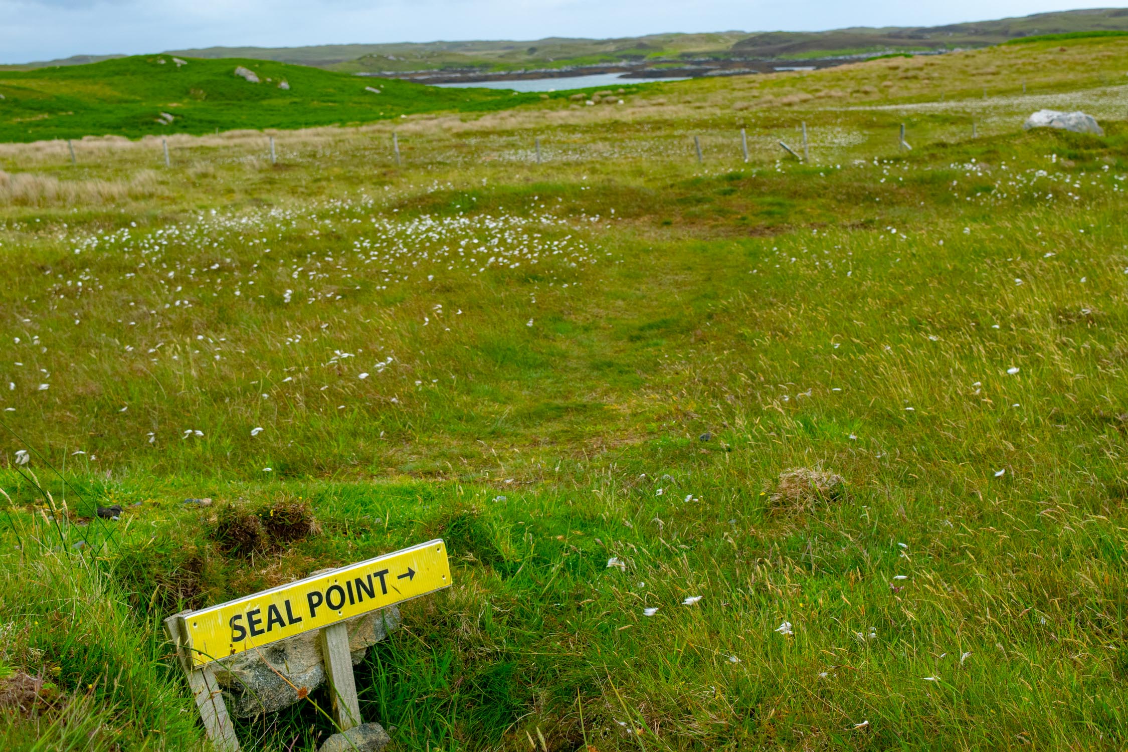
After crossing the causeway continue along the road slightly uphill to the parking area at the road end. Follow the right hand track which climbs from the parking area. When the track levels off go through the gate and then through a second gate. Just beyond, the rusting remains of a car serves as an information point about the seals and the route.
Continue along the track and, where it bends left towards the croft house, turn right at a triangular shaped rock and a sign for the seals. Go through the gate and follow a small path junction. Keep left, keeping to the left of a fence to reach an inlet. Turn left, cross a stream and follow a small path along the shoreline to reach the viewing point that overlooks the islets where the grey seals haul out at low tide.
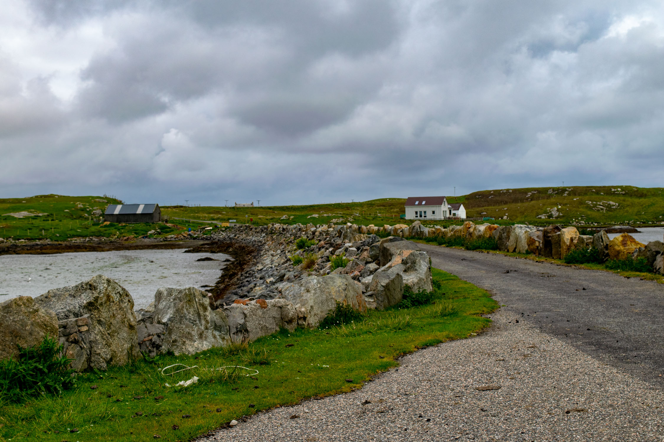
Continue around the shoreline and cross the head of a larger inlet using the faint path until you reach another path heading inland towards the croft. Walk through the croft buildings, along its lane and then retrace steps to the causeway.
- Getting there:
From Benbecula turn off the A865, just south of the causeway to North Uist, at a bend with a telephone box, following the sign for Flodaigh. There is a small parking space before crossing the causeway or space for several cars if you continue over the causeway on the main island lane and up the slight hill (Note that parking here is not allowed between 8.00 and 8:45am, and between 3.30 and 4.30pm).
Join our Islandeering community
We continuously find new islands, rivers, lochs, canals and coast to walk, SUP and swim in and meet plenty of great folks along the way. Join our community to get new routes and adventures, latest blogs and news by using the email box below. Tune in also to our Facebook and Instagram pages to see where we are going next.

Share via...
Gallery