
No activities have been added for this island yet.
Samphire Island
Share via...
50.255585, -5.313656
About Us

Hi and welcome to Islandeering Islandeering is for people who want adventure in Britain’s wild blue spaces – our rivers, coast, lakes, canals and islands. You will find amazing walks, paddles and swims in the UK’s most special places, those recognised for outstanding natural beauty, incredible geology or special and abundant wildlife.
Learn More
Learn More
Distance: 12.5 km
Difficulty: Moderate
Method: Walking
Wow Factor: 10 out of 10
Key Facts
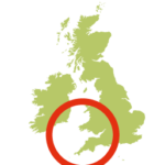
- Location: Cornwall (north coast)
- Terrain: Coast path; woodland trails; steep sections
- Access: South West Coast Path; tidal crossing (Spring tides only)
- Height gain: 487 metres
- Map: OS Explorer 104
- Starting point: North Cliffs Car Park (GR SW 625 431)
- Accommodation/food:
There is plenty of accommodation in St Ives and Newquay
On the route there are:
Portreath Arms Hotel
The Basset Arms
The Waterfront Inn
Porteath Beach café
The Atlantic Café
Tideline Café
Tehidy Country Park Café - Island Summary:
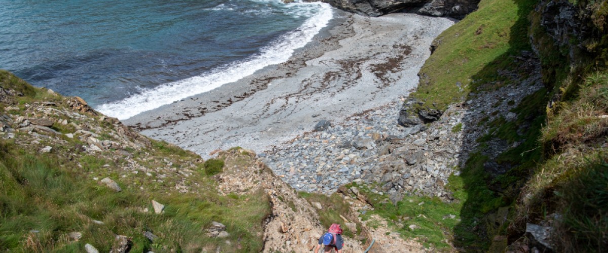
The circular walk on the South West Coast Path near Portreath to see Samphire Island is a spectacular walk on the north Cornwall coast. It includes the cliff tops of Reskajeage Down and Carvannel Down, a short scramble down to see Samphire Island, collapsed sea caves and smuggler’s coves. There are plenty of pitstops and options for a swim in Portreath. Inland the route passes through the lovely woodland and streams of Illogen Wood and then Tehidy Country Park which, depending on the time of year, are great places to sea bluebells and autumnal colours.
There are many other options to walk the section of the South West Coast path above Samphire Island. The easiest option would be to park at Basset’s Cove carpark (GR SW 638 440) and walk 1.5 km to reach the path down to Port-cadjack beach. To get to the car park, head towards Hayle on the B3301 from Portreath. After about 3.2 km turn left down a small, unmarked lane on the right. A more moderate options from Basset’s Cove carpark, is to walk towards Portreath following the main Islandeering route described here, but in Tehidy woods follow signs for the North Cliffs Circular Walk until you reach the Country Park’s car park. Head right on the B3301 for a short distance to return to Basset Cove.
- Look out for:
- Spectacular coastal scenery of North Cliffs
- Descending into Port-cadjack Cove
- Seals in the collapsed sea cave of Ralph's Cupboard
- Heritage mining trails
- Babbling woodland streams
- Route description:
This circular route along the South West Coast Path starts at North Cliffs Car Park. It heads towards Portreath on the high cliff tops of Reskajeage Down to reach Basset’s Cove. There is a fairly hazardous descent into the cove at low tide (from which the base of Crane Island can be reached). The route descends to a stream at Carvannel Down from where it is possible to access Port-cadjack Cove to visit Samphire Island (only on very low Spring tides). The route ascends steeply, from the stream, and continues to Western Hill, overlooking the Cornish village of Portreath and its multiple pitstops. It then heads inland through Illogan Woods beside a lovely stream, and then tracks across to Tehidy Country Park. Using the Mineral Tramways Tehidy Trail to navigate through trees for the length of the park the route emerges into the hamlet of Combe, where it then returns directly to the clifftops at Reskajeage Downs.
- Getting there:
Getting to the North Cliffs Car Park – towards Hayle on the B3301, 5km south west of Portreath
Getting to the Basset’s Cove Car Park – towards Hayle on the B3301, 3.2 km south west of Portreath
Join our Islandeering community
We continuously find new islands, rivers, lochs, canals and coast to walk, SUP and swim in and meet plenty of great folks along the way. Join our community to get new routes and adventures, latest blogs and news by using the email box below. Tune in also to our Facebook and Instagram pages to see where we are going next.

Share via...
Gallery
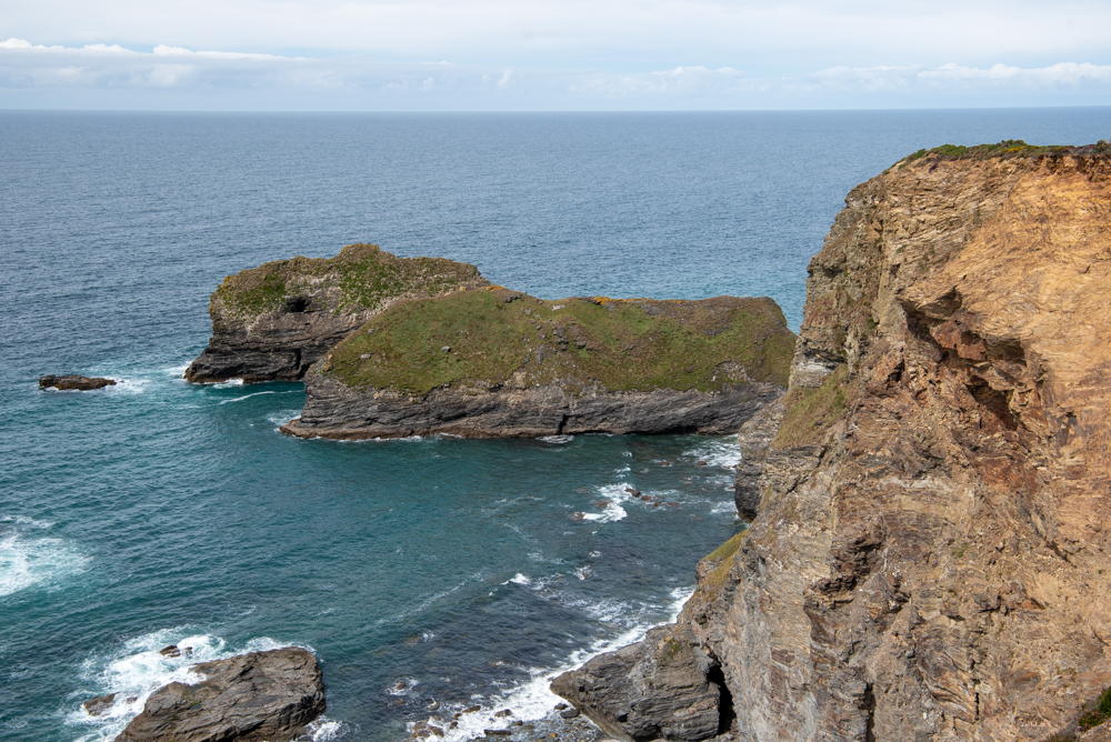
Views from the Carvannel Downs to Samphire Island (outermost)
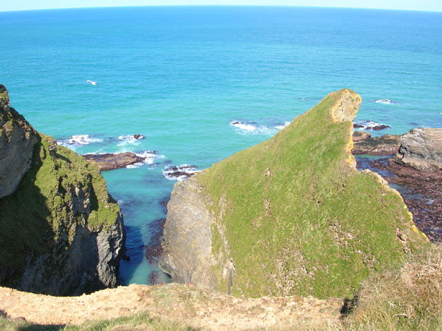
Ralph's Cupboard, South West Coast Path
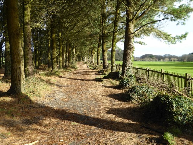
Tehidy Country Park
