
No activities have been added for this island yet.
Skippers Island
Share via...
51.873240, 1.218945
About Us

Hi and welcome to Islandeering Islandeering is for people who want adventure in Britain’s wild blue spaces – our rivers, coast, lakes, canals and islands. You will find amazing walks, paddles and swims in the UK’s most special places, those recognised for outstanding natural beauty, incredible geology or special and abundant wildlife.
Learn More
Learn More
Distance: 11.3 km
Difficulty: Easy
Method: Walking
Wow Factor: 8 out of 10
Key Facts
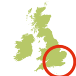
- Location: Near Kirby-le-Soken, Essex
- Size: 94.3 hectares
- Terrain: Mostly grass path
- Access: Difficult tidal mud crossing, boat recommended
- Height gain: 83 metres
- Map: OS Explorer 184
- Starting point: Kirby-Le-Soken, Post Office (GR TM 2265 2194)
- Accommodation/food:
Good pub food and a friendly welcome at The Ship; supplies in the village Post Office.
- Island Summary:
A dyke walk alongside the tidal creeks of the Hamford Water Nature Reserve to reach the dilapidated tidal causeway across to Skippers Island. The island is the hidden gem of the Hamford Water National Nature Reserve. It is home to many special animals but one more so than others – the Fishers Estuarine Moth. The island is the last strong hold for this Essex endemic moth in the UK, part of the reason that Skippers is designated as an Environmentally Sensitive Area, National Nature Reserve, Ramsar site, Site of Special Scientific Interest, Special Protection Area
Ray Marsh has previously maintained grassland paths through the thorn thickets of the island but we are not sure whether this has continued since his retirement in late 2019. To land on the island always seek permission from the Essex Wildlife Trust.
- Look out for:
- Wilderness
- Great kayak trip
- Stunning birdlife
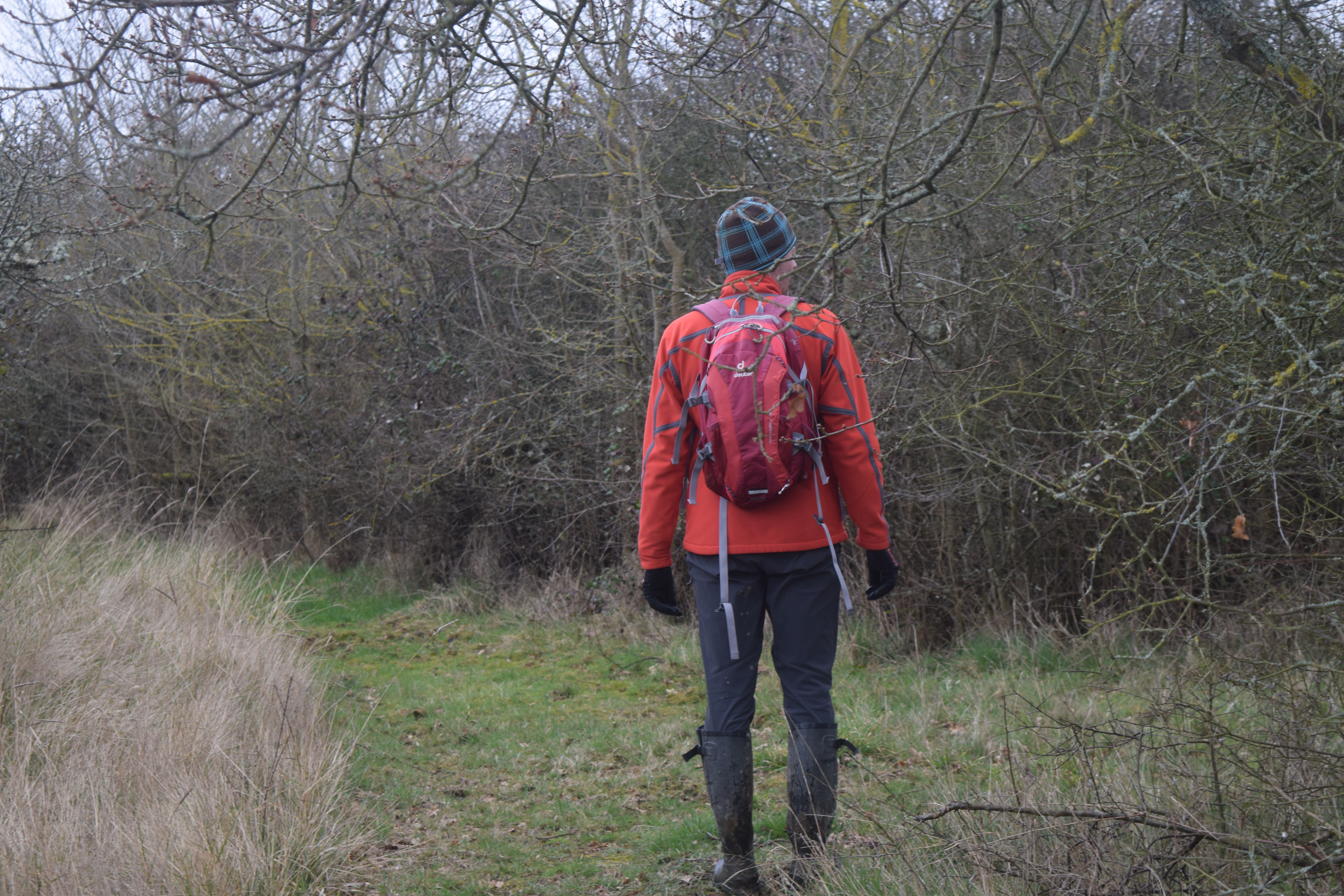
- Route description:
Start at the Post Office, Walton Road (B1034), Kirby-Le-Soken. Walk west along the road for a few metres then turn into Quay Lane. Continue passed the ‘Private Lane’ sign to reach a thatched cottage and house. Turn left, over the footbridge, and initially follow the stream then cross fields to reach the dyke. Great views across Hamford Water Nature Reserve to Horsey Island and Harwich in the far distance. Continue along the dyke and, after a total of 3.4 km from the start of the walk, reach the island’s boat jetty then continue onwards for a further 300 metres. Here, at the head of a lane and concrete blockhouse, turn towards the island across a footbridge to find the remnants of the causeway. Depending on your permission to access the island, continue with guidance onto the island.
We completed this route in 2018 with the full permission of the Essex Wildlife Trust. We will be returning soon to document the kayak route around the island.
- Getting there:
The remains of a tidal causeway can be used to cross to the island, but without local guidance it is not recommended. We crossed with the help of Ray Marsh (now retired but was the warden on the island for 60 years). Boat access is possible but ONLY with the permission of the Essex Wildlife Trust. Contact number: 01621 862960 or email: admin@essexwt.org.uk
Join our Islandeering community
We continuously find new islands, rivers, lochs, canals and coast to walk, SUP and swim in and meet plenty of great folks along the way. Join our community to get new routes and adventures, latest blogs and news by using the email box below. Tune in also to our Facebook and Instagram pages to see where we are going next.

Share via...
Gallery
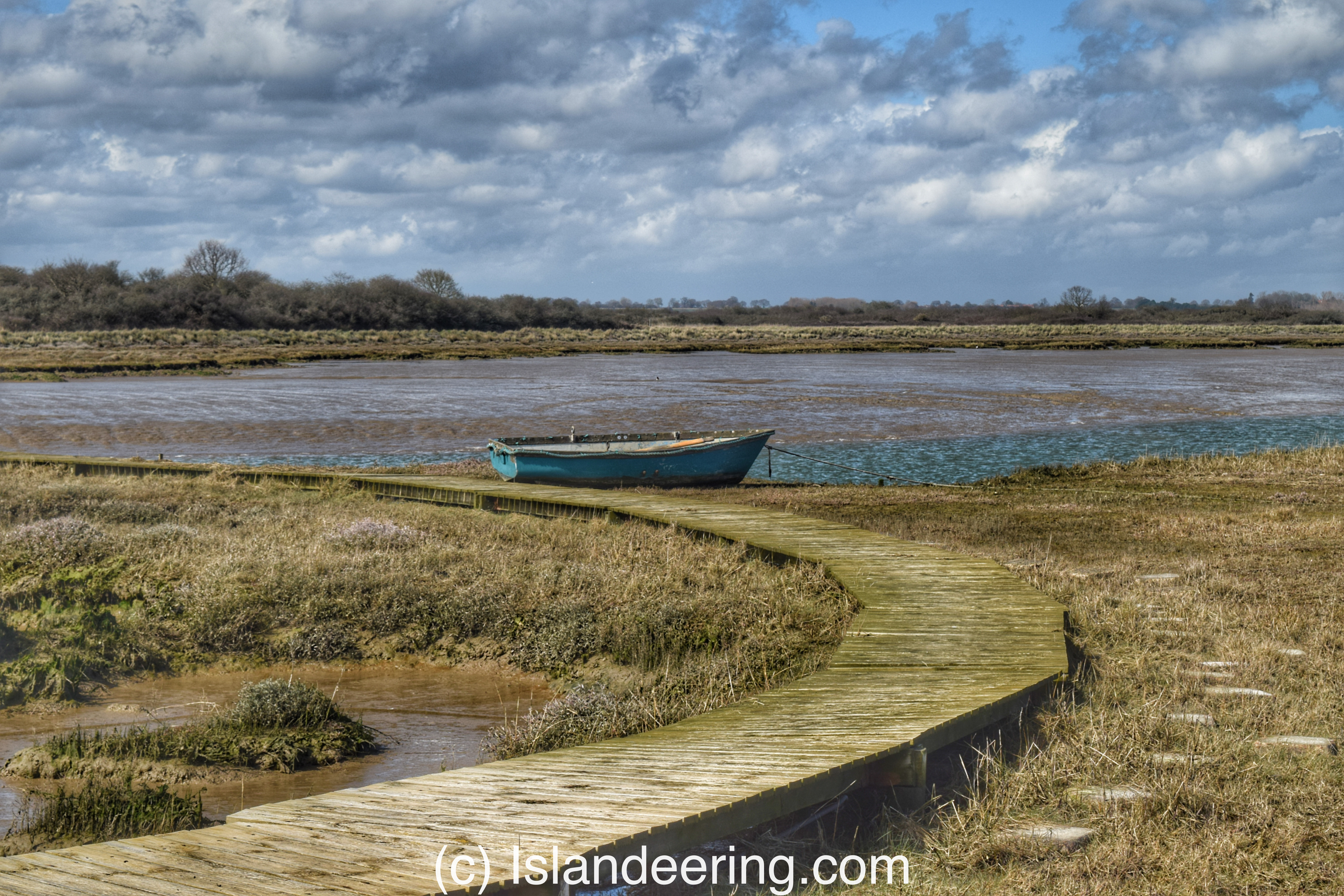
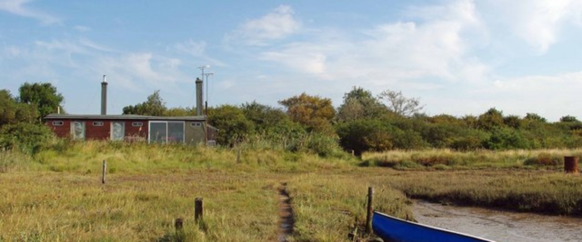
Skippers island boat
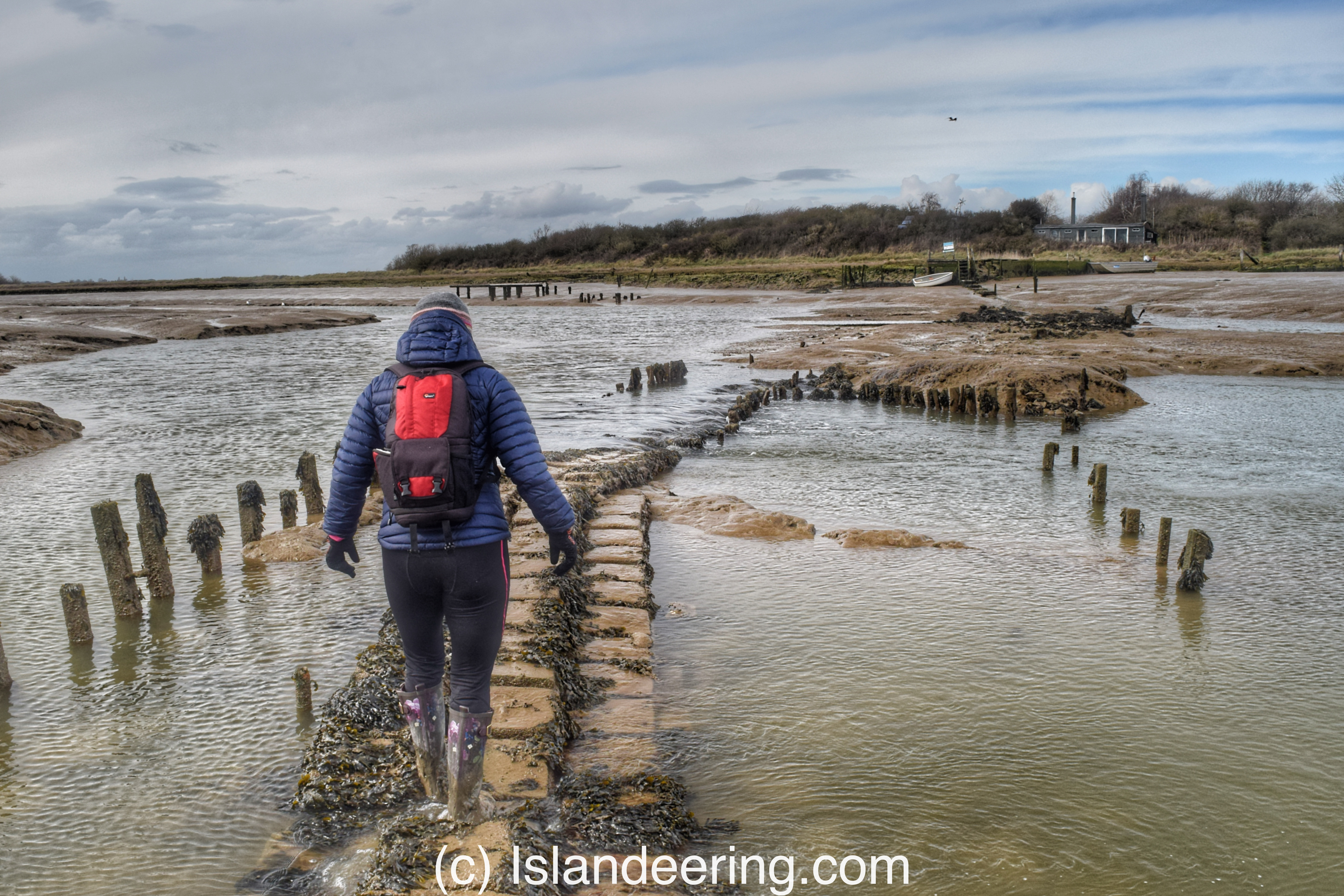
Crossing Skippers Island causeway
Walking around Skippers Island
