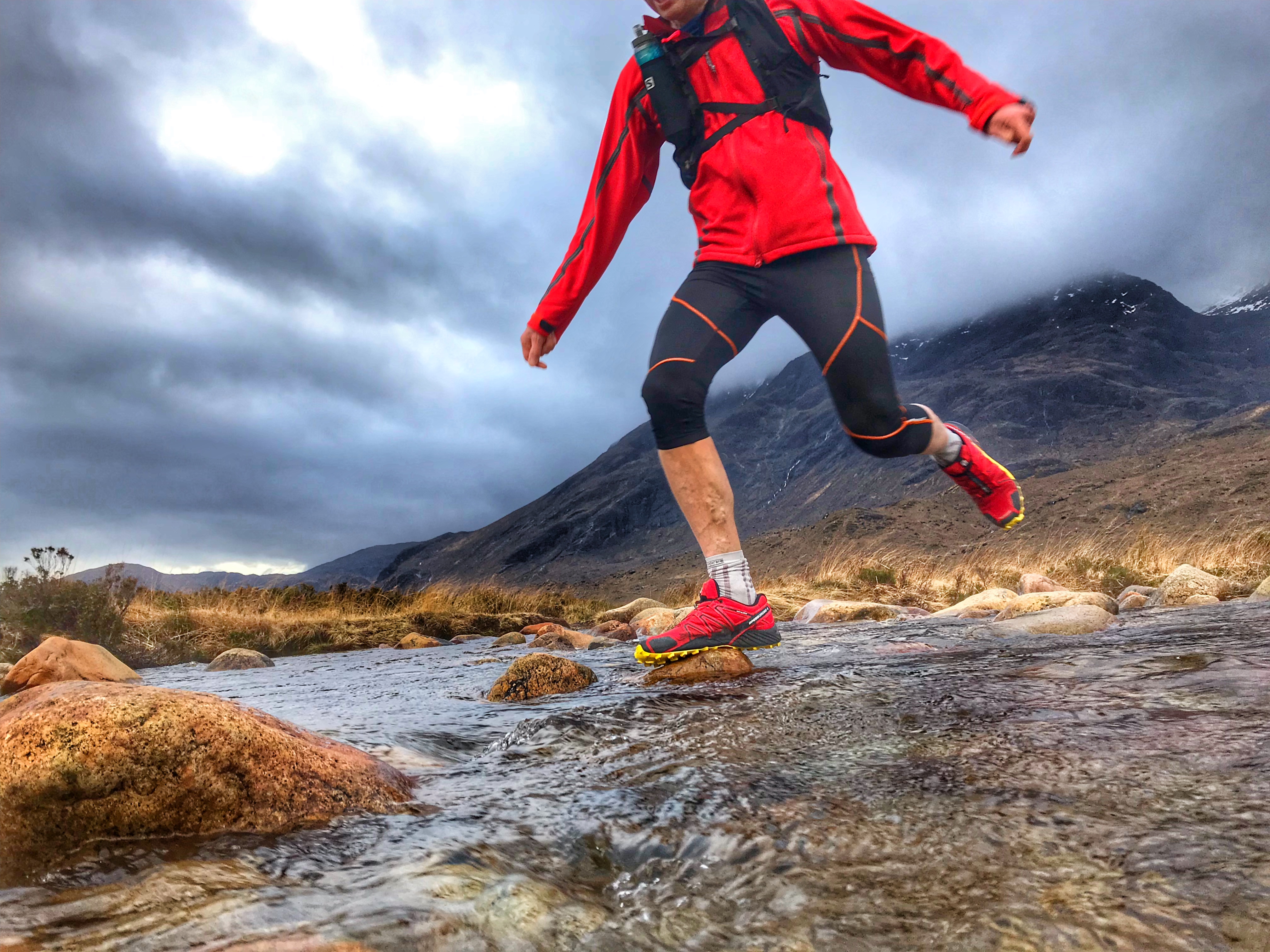
Loch Eynort Trail Run/walk
Run or walk a forested trail with incredible views of the mighty Cuillin
Learn More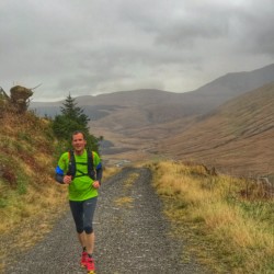

Run or walk a forested trail with incredible views of the mighty Cuillin
Learn More
White sandy bay; wild swim spot
Best coffee in the Highlands
Birthplace of Flora MacDonald
Sgurr Alasdair

The full route requires a combination of wild camping with overnight stays in villages or bothies.
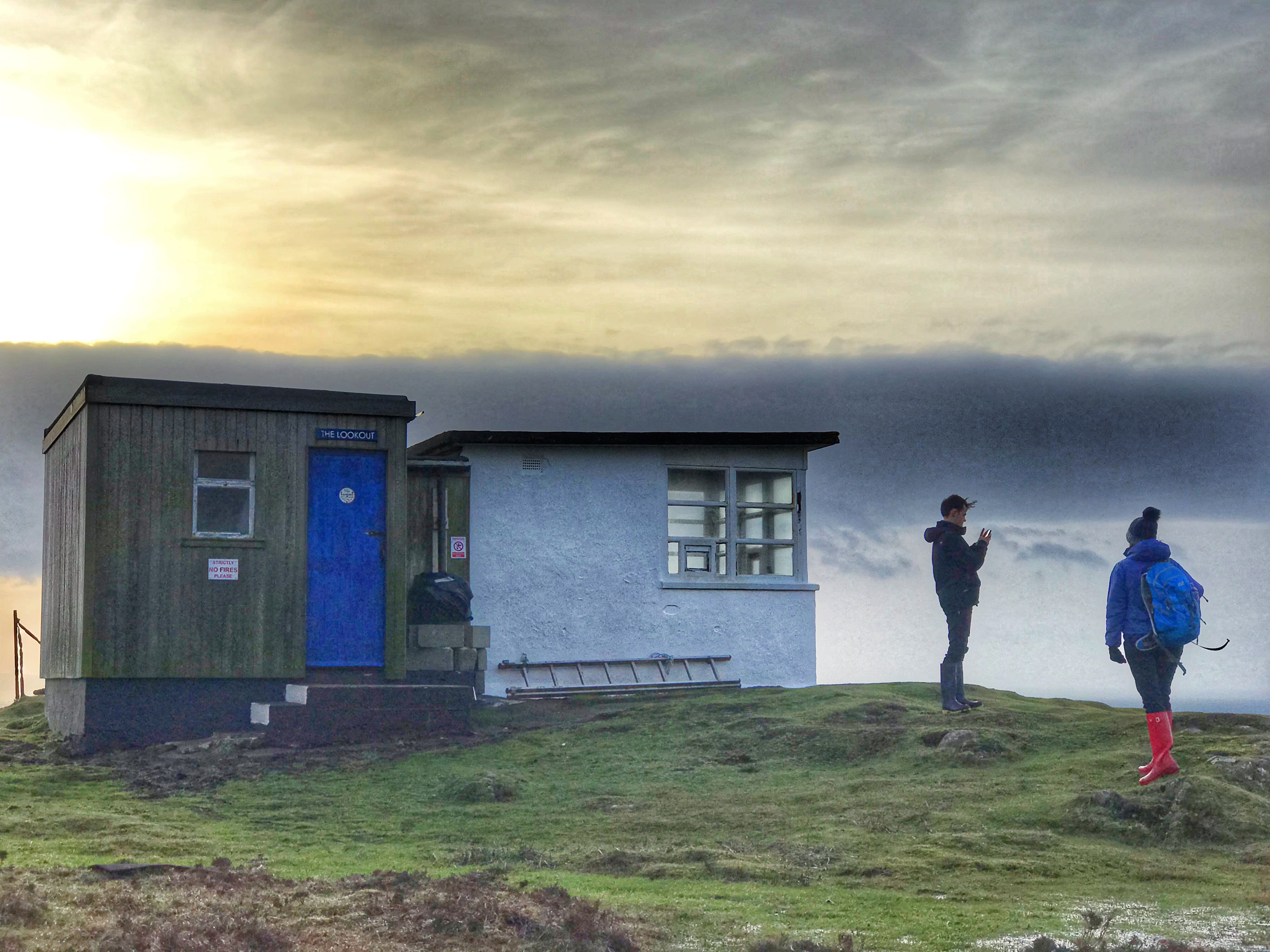
Rubha Hunish – The Lookout (Bothy)
Flodigarry has a hotel and an independent hostel.
Portree has a choice of shops, hotels, B&B’s with a campsite at Torvaig on the northern edge of town.
Sligachan has a hotel, campsite and bunkhouse.
Elgol has a choice of B&B’s along with a small shop. There is also a B&B in Torrin.
Broadford has a choice of hotels, B&B’s and a well-stocked Co-op supermarket.
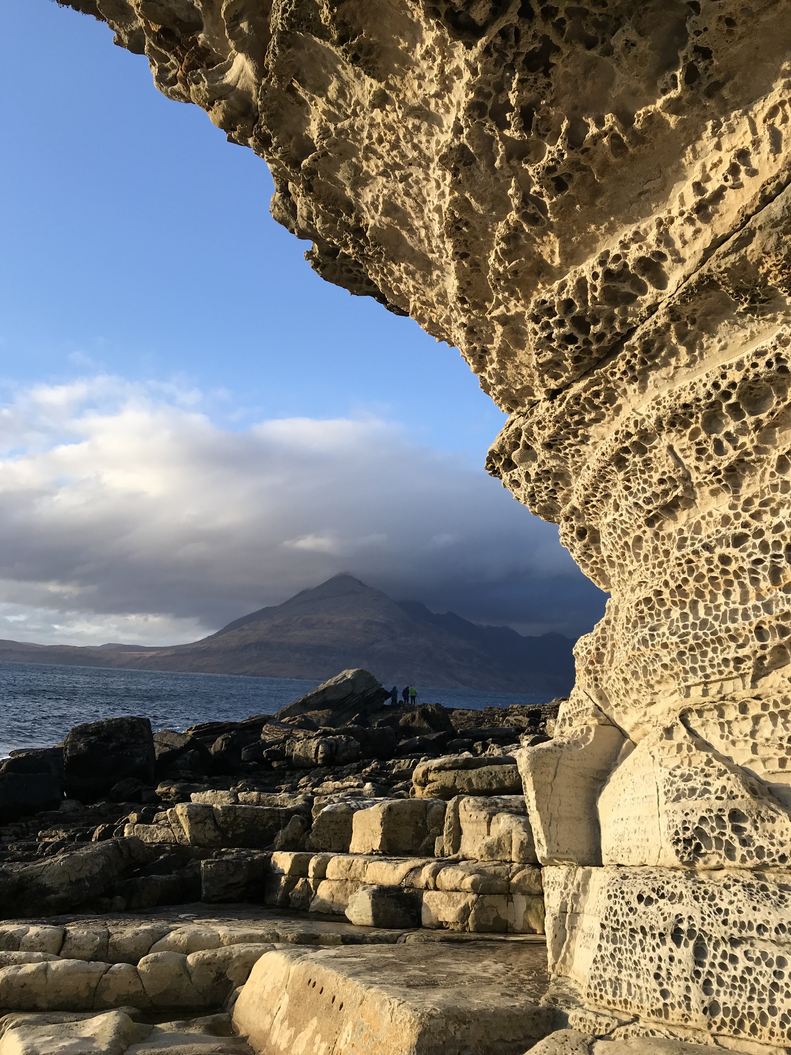
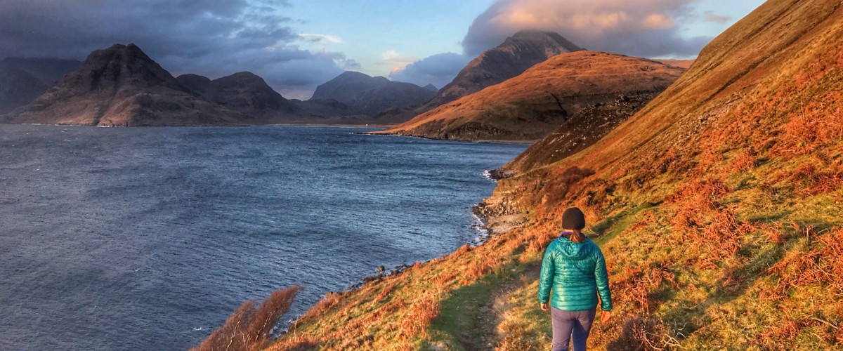
Every superlative is used to decribe Skye’s dramatic landscapes, seascapes, history and legends. There is quite literally a lifetime of exploring here. For the adventurer the Cuillins mountains are arguable the best in Britain, there are caves to explore, secluded beaches and forest trails to run. The island is blessed with some of the finest dining and incredible seafood and has the full facilities expected of holiday makers of all types. This is my home island.
At the moment there isn’t a waymarked round island route on Skye. For this reason I have included The Skye Trail instead – a long distance footpath travelling most of the length from the north to south of the Isle of Skye, traversing mountain, moor and coastal regions. Starting on the northern tip of the island at Rubha Hunish the route passes the significant attractions of The Quiraing, Trotternish Ridge, Old Man of Storr, Portree, the Braes, Loch Sligachan, Glen Sligachan, Camasunary Bay, Loch Coruisk, Elgol, Kirkibost, Loch Slapin, Torrin and the Marble Line to reach Broadford.
We plan to run the Skye Trail Ultra in 2020, so I have included the GPX download provided by The Walking Englishman (visit his site here for more details and great walks)
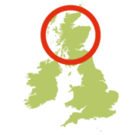
Road bridge from mainland Scotland. More detail on travel to and within Skye is available from www.isleofskye.com.
We continuously find new islands, rivers, lochs, canals and coast to walk, SUP and swim in and meet plenty of great folks along the way. Join our community to get new routes and adventures, latest blogs and news by using the email box below. Tune in also to our Facebook and Instagram pages to see where we are going next.