No activities have been added for this island yet.
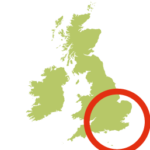
Thorney Island
Share via...
50.818658, -0.916720
About Us

Hi and welcome to Islandeering Islandeering is for people who want adventure in Britain’s wild blue spaces – our rivers, coast, lakes, canals and islands. You will find amazing walks, paddles and swims in the UK’s most special places, those recognised for outstanding natural beauty, incredible geology or special and abundant wildlife.
Learn More
Learn More
Distance: 13 km
Difficulty: Easy
Method: Walking
Wow Factor: 7 out of 10
Key Facts
- Location: West Sussex
- Terrain: Easy path; near West Thorney path can be overgrown to the south and can be very muddy after rain to the north, where higher tides may also affect the path
- Access: Footbridge
- Height gain: 54 metres
- Map: OS Explorer 120
- Starting point: Parking at junction Thorney Road/Thornham Lane
- Accommodation/food:
There are no facilities on the island itself but The Deck Cafe at Emsworth Yacht Club serves a full range of food. The Scout Hut at Prinstead serve teas on weekends from April to October. Basic snacks are available at Thornham Marina. Emsworth itself has a full range of pubs, cafes and supermarkets a favourite being The Coal Exchange, close to the harbour, for changing real ales, good food and a big fire if Thorney’s weather has chilled you.
- Island Summary:
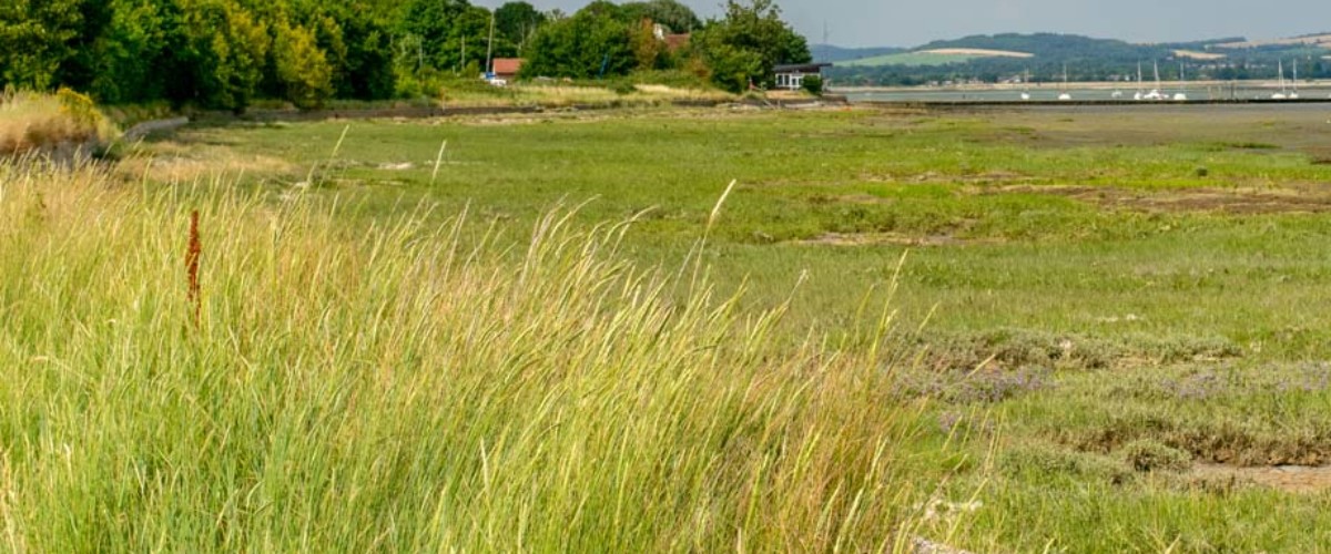
Walking the coast path around Thorney Island is a great way to get away from the otherwise busy coast of West Sussex. Step through the security gates and it feels like another world, full of peace and tranquility. Along the walk there are great views east, across the Thorney Channel to West Wittering, and west, across the Emsworth Channel to Hayling Island. The south of the island has a great beach that is usually deserted and Pilsey Island which is a great spot to watch out for migrating birds. There are also some poignant reminders of the military heritage of this island, with memorials to soldiers of the Special Force soldiers who have lost their lives in recent conflicts, as well as the cemetery in St Nicholas’s Church.
- Look out for:
- Ospreys in Autumn at the sandy Pilsey Island nature reserve
- A warm summer swim off Pilsey Sands
- Nature-filled and ever-changing views of Chichester Harbour
- Historic soul of the island in the atmospheric St Nicholas Church
- Route description:
The coast path around Thorney Island forms part of the Sussex Border Path. The circular walk starts at Emsworth Yacht Club and crosses the Thorney Road to follow the well-marked coast path onto Prinstead Lane to the village of Prinstead. From the Sea Scouts Hut, the path follows the dyke south through Thornham Marina and Paynes Boatyard to cross the Great Deep and the MoD’s East security gate. The route then hugs the coast until it exits the island at the MoD’s West security gate, and continues to the Emsworth marina.
(or Prinstead).
- Getting there:
Thorney Island is easily accessed by rail (Emsworth Station) where a short walk takes you to the start of the walk. By road there are plenty of public carparks in Emsworth, or for starting at The Deck café, leave Emsworth on the A27, go over the bridge and take the first right after the Sussex Brewery. After 500m turn right onto Thorney Road and right again into Mill Quay. The walk can be undertaken in the opposite direction with limited parking at Prinstead.
Join our Islandeering community
We continuously find new islands, rivers, lochs, canals and coast to walk, SUP and swim in and meet plenty of great folks along the way. Join our community to get new routes and adventures, latest blogs and news by using the email box below. Tune in also to our Facebook and Instagram pages to see where we are going next.

Share via...
Gallery
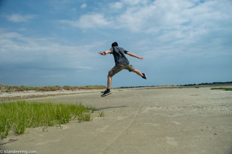
Thorney Island beach
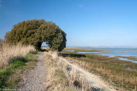
Thorney Island's east coast path