A 10.8 km hike with 380 metres of ascent along faint and an often boggy path with a steep free-range ascent to the summit.
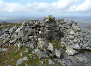
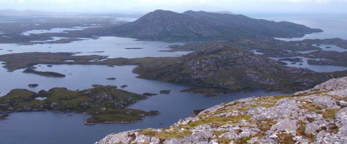
Park at the eastern end of the B894 along Loch Euphort, Grid Ref NF 891 635. Head along the track past the last house and follow a faint path east onto the moorland you can see Eaval across Loch Obasaraigh. Drop down to a causeway of stones across the water connecting Loch Obasaraigh with Loch Euphort. Continue along the moorland path towards Burrabhal and once you get nearer keep to the Loch shore keeping Burrabhal to your left. Reach a long, sandy cove and walk along its sands. At the end of the beach start climbing up the eastern ridge of Eaval using the best route you can find. Continue to the trig point for incredible views of the whole of the island and its multiple lochs, the mountains of Harris, Skye and South Uist. Return using the same route.