
Distance: 8.8km
Difficulty: Easy
Method: Walk
Wow Factor: 9 out of 10
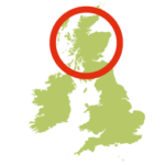
- Location: Orkney Mainland
- Map: OS Explorer 463 Orkney West Mainland; LR 6 Orkney Mainland
- Starting point: Stromness Piers, Ferry Road, Stromness, KW16 3AA. Grid ref. HY 25489 09198
- Route description:
A fabulous circular walk past the town’s cultural attractions that seamlessly transition into coastal path views of the tall peaks of Hoy, the town’s favourite beach and one of Orkney’s finest viewpoints that overlooks the colourful harbour of Stromness.
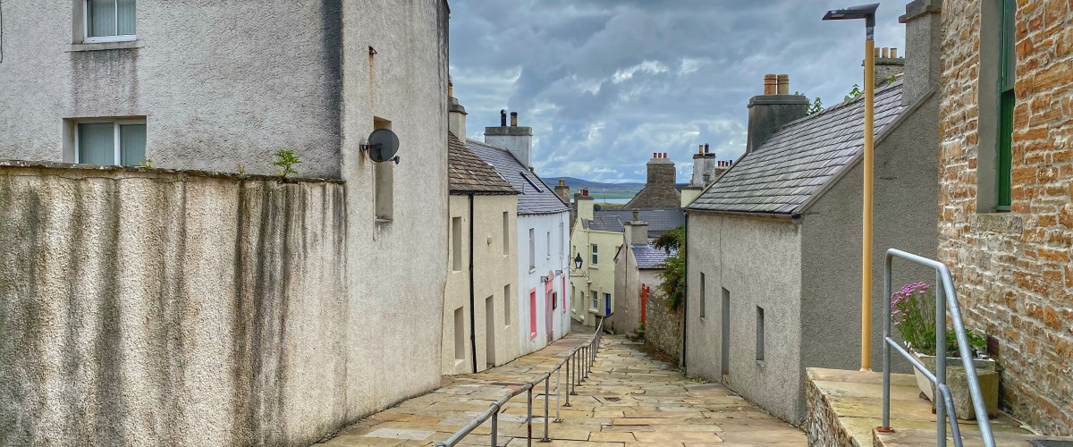
- Start from South Pier and walk left along the main street.
- Leave the town, continue around the harbour and pick up the coast path at the Point of Ness Campsite.
- Continue west past a small gun emplacement and buildings, a reminder that Stromness was once the wartime command Centre for the British Home Fleet.
- Continue on the coast path past the car park and Warebeth Cemetery then on to Warebeth Beach – a lovely sandy beach with plenty of rocks and pools.
- Return on the lane north of the cemetery, turn left onto Warebeth Road then right at the T-junction with Outertown Road.
- Take the first exit on the mini-roundabout following the footpath along Back Lane. Just after the University buildings turn left up Downies Lane then left again to follow the footpath signs to Brinkies Brae.
- Walk uphill through the fields, follow the stone wall to the right to reach the trig point. Here stunning views of Scapa Flow stretch away from the houses that crowd around a harbour full of colourful fishing vessels, ferries and dive boats.
- Trace steps back to Downies Lane, cross Back Lane and take the steep alleyway downhill past the University buildings to Franklin Lane, turning right onto Bank Lane to return to the waterfront.
- Getting there:
Ferry Daily services on Northlink Ferries from Scrabster to Stromness
