No activities have been added for this island yet.
Walk to Cei Ballast
Share via...
52.919731, -4.127835
About Us

Hi and welcome to Islandeering Islandeering is for people who want adventure in Britain’s wild blue spaces – our rivers, coast, lakes, canals and islands. You will find amazing walks, paddles and swims in the UK’s most special places, those recognised for outstanding natural beauty, incredible geology or special and abundant wildlife.
Learn More
Learn More
Distance: 2.9 km
Difficulty: 2
Method: Walking
Wow Factor: 9 out of 10
Key Facts
- Location: North Wales
- Size: <1 hectare
- Terrain: Tidal sands, rocky foreshore
- Access: Tidal crossing
- Height gain: 16 metres
- Map: OS Explorer OL18
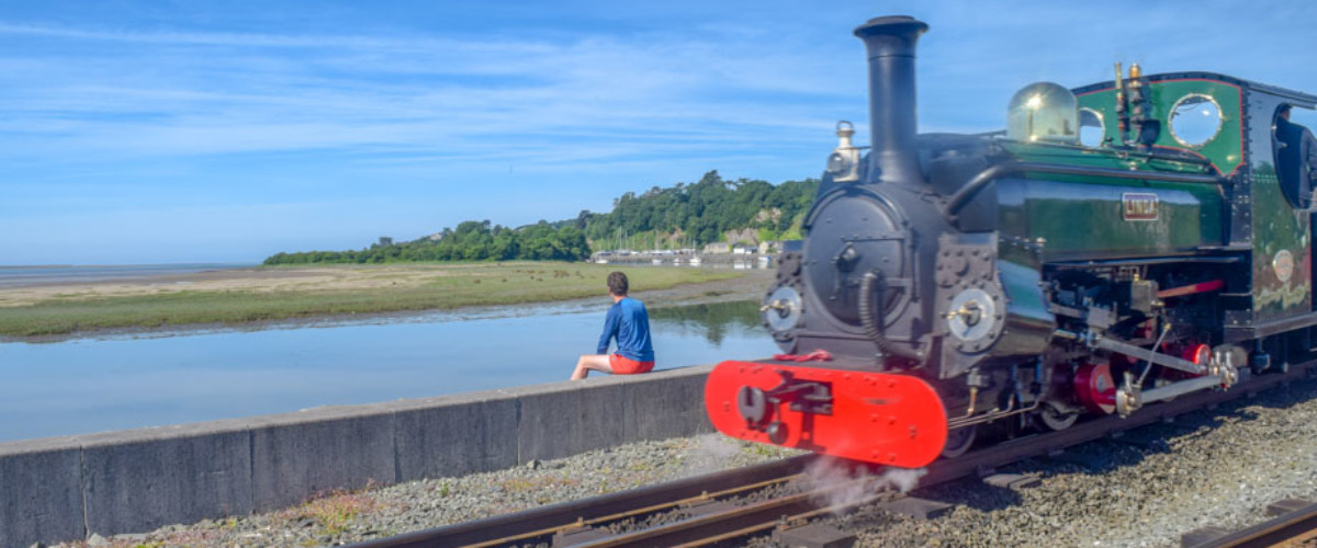
- Starting point: Car park for Ffestiniog Railway, Harbour Station, Porthmadog LL49 9NF. Lat/Long 52.924382, -4.126708; GR SH 5712938448
- Accommodation/food:
Toilets and refreshments at Spooners grill, café and bar on the Ffestiniog Railway platform. All facilities available in Porthmadog itself.
- Island Summary:
Cei Ballast sits in almost compete secrecy in the northern reaches of the River Glaslyn only a hundred metres away from the bustling town of Porthmadog. It is a low-lying, shrub-filled island built only 200 years or so ago from the discarded ballast of ships.
- Look out for:
- Epic tidal crossing
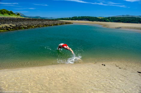
- Deep, warm pools to swim
- Hunt for rocks from all over the world
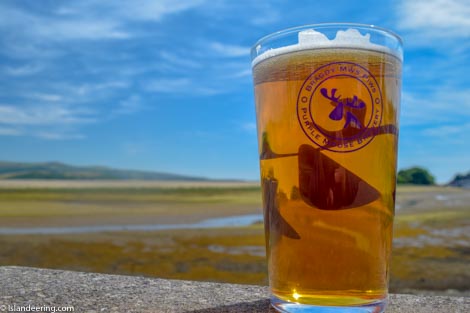
- Local brews at Purple Moose brewery
- Route description:
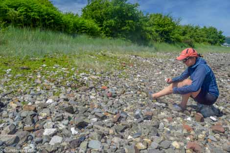
Drop down onto the sands from The Cob, cross a tidal stream, heads into the salt marsh, samphire beds and cockle-filled sands beyond. The walk then follows the rocky foreshore – a colourful mix of chalk, red granite, brick, limestone, industrial slag, flint and the occasional piece of patterned pottery. There is no other foreshore quite like it in Britain.
- Getting there:
Train to Porthmadog station
Other islands nearby:
Ynys Gifftan more
Bardsey more
Join our Islandeering community
We continuously find new islands, rivers, lochs, canals and coast to walk, SUP and swim in and meet plenty of great folks along the way. Join our community to get new routes and adventures, latest blogs and news by using the email box below. Tune in also to our Facebook and Instagram pages to see where we are going next.

Share via...
Gallery