
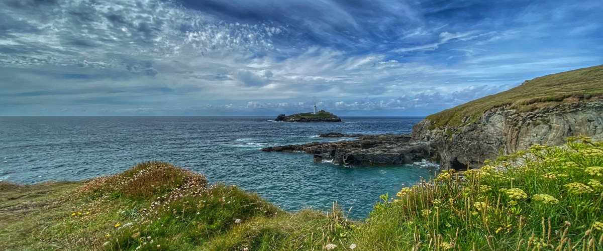
Godrevy Island
Share via...
About Us

Hi and welcome to Islandeering Islandeering is for people who want adventure in Britain’s wild blue spaces – our rivers, coast, lakes, canals and islands. You will find amazing walks, paddles and swims in the UK’s most special places, those recognised for outstanding natural beauty, incredible geology or special and abundant wildlife.
Learn More
Learn More
Distance: 8.2 km
Difficulty: Easy
Method: Walking
Wow Factor: 9 out of 10
Key Facts
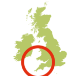
- Location: Cornwall (North)
- Terrain: Coast path
- Access: Path
- Height gain: 405 metres
- Map: OS Explorer 102
- Starting point: Godrevy Head carpark (GR SW 581 430)
- Accommodation/food:
No facilities on the island. The walk features three cafes:
- Godrevy Beach Café
- The Rockpool Beach café
- Hell’s Mouth Café
Plenty of accommodation in St Ives
- Island Summary:
The circular walk from Godrevy to Hell’s Mouth and back via the Red River Valley offers dramatic coastal scenery of the South West Coast Path, as well as the opportunity of exploring idyllic, hedge-lined Cornish lanes. It boasts the best views of Godrevy Island, which otherwise could only be viewed on a boat trip from St Ives. The route includes the clifftop path between stunning Navax Head and Hell’s Mouth, seal watching in Mutton Bay, woodlands, and views across the Red River Valley
- Look out for:
- Seal watching, Mutton Bay
- Dramatic coastal scenery
- Best mainland views of Godrevy Island
- Route description:
The circular walk along the South West Coast Path to see Godrevy Island starts at the Godrevy Headland car park (National Trust; and toilets). It loops around Godrevy Headland, for the best views of Godrevy Island and passes through dramatic coastal scenery to reach Hell’s Mouth. After a cafe stop the route heads inland through woodland and idyllic lanes, then loop back onto the coast at Gwithian Bridge. The last stretch hops back onto the South West Coast Path, if you can resist the lure of two further cafes.
- Getting there:
Getting to Godrevy is reasonably straightforward.
By train – Hayle station 8km away
By road – Godrevy is just north of Gwithian village and is signposted with a brown tourist sign from the B3301 coast road between Hayle and Portreath.
By bus – the Atlantic Coaster route A4 (seasonal timings)
By bike – National Cycle Network Route 3 runs through nearby Hayle and Camborne
Join our Islandeering community
We continuously find new islands, rivers, lochs, canals and coast to walk, SUP and swim in and meet plenty of great folks along the way. Join our community to get new routes and adventures, latest blogs and news by using the email box below. Tune in also to our Facebook and Instagram pages to see where we are going next.

