
Holy Island (Anglesey)
Share via...
53.296287, -4.637109
About Us

Hi and welcome to Islandeering Islandeering is for people who want adventure in Britain’s wild blue spaces – our rivers, coast, lakes, canals and islands. You will find amazing walks, paddles and swims in the UK’s most special places, those recognised for outstanding natural beauty, incredible geology or special and abundant wildlife.
Learn More
Learn More
Distance: 41.4 km
Difficulty: Moderate
Method: Walking
Wow Factor: 10 out of 10
Key Facts
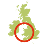
- Location: Anglesey, Wales
- Size: 3942 hectares
- Terrain: Coast path
- Access: Road bridge from Anglesey
- Height gain: 1111 metres
- Map: Os Explorer 262 and 263
- Starting point: Holyhead Old Lifeboat Station and Museum (GR SH 245 832)
- Accommodation/food:
Plenty in Holyhead Town
- Island Summary:
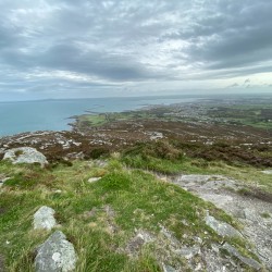
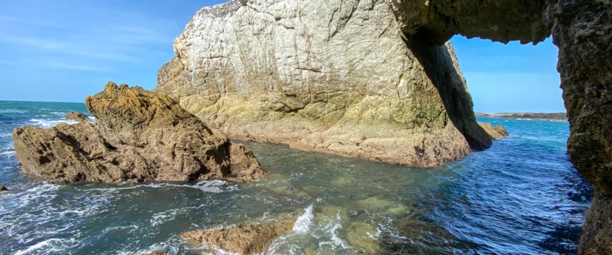
The circular walk around Holy Island, Anglesey, is one of the best sections of the Wales Coast Path. With a dramatic coastline, impossibly located lighthouses, powerful tidal races and spectacular bird life this is a walker’s paradise. This walk passes the port of Holyhead and its breakwater, one of the longest in Europe before heading up the flanks of Holyhead Mountain, the highest peak in the county of Anglesey. It passes the the two tiny islands of North Stack and wildlife-filled South Stack, and takes in the spectacular sea arches near Rhoscolyn as well as the larger sand beaches at Trearddhur Bay and Penrhos Country Park. The route can be completed in a day, or broken down into two days – as there is so much to see.
- Look out for:
- Bwa Gwyn sea arch
- Precipitous views of South and North Stack islands
- Hidden beaches
- History and wildlife of Breakwater Country Park
- Route description:
The Anglesey Coast Path on Holy Island officially starts at St Cybi’s Church in Holyhead. It initially leads passed the ferry port – the gateway to Ireland before heading up to Holyhead Mountain. Here you pass an old Iron Age hill-fort, eventually leading to the famous South Stack lighthouse and Twr Elin – a popular spot for bird-watchers. Further on, the path drops from the cliff tops to beaches like Porth Dafarch and Trearddur Bay and rugged coastline and the healing-well and sea arches near Rhoscolyn and on to Silver Bay. Here the path veers inland through the gorse and quiet lanes to Four Mile Bridge. After crossing the bridge back to Anglesey, the Wales Coast Path is followed underneath the A5, where the walk then returns to Holy Island via the Stanley Embankment and then Penrhos Park.
- Getting there:
Holyhead is easy to get to with a train station, numerous buses and even an airport at Valley (Anglesey) with flights to Cardiff.
Join our Islandeering community
We continuously find new islands, rivers, lochs, canals and coast to walk, SUP and swim in and meet plenty of great folks along the way. Join our community to get new routes and adventures, latest blogs and news by using the email box below. Tune in also to our Facebook and Instagram pages to see where we are going next.

Share via...
Gallery
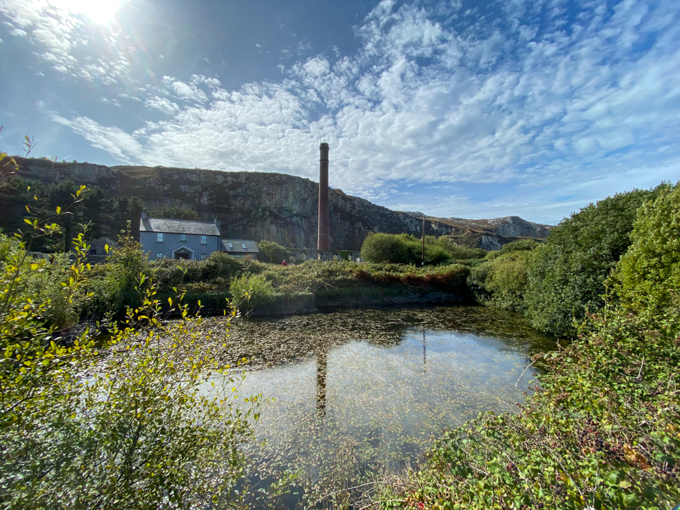
Breakwater Country Park
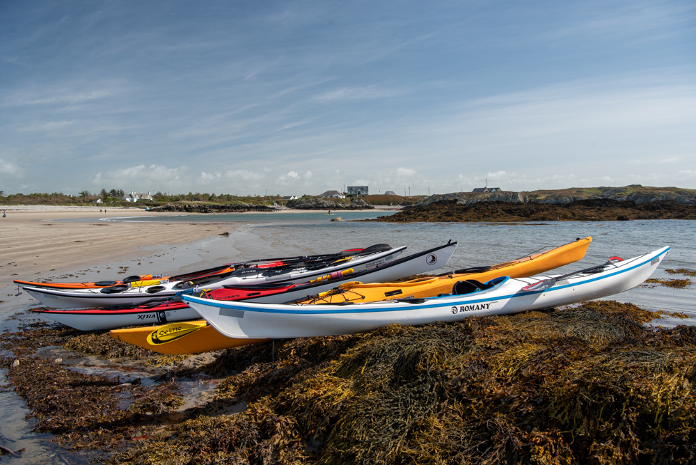
Borthwen Beach Holy Island Anglesey
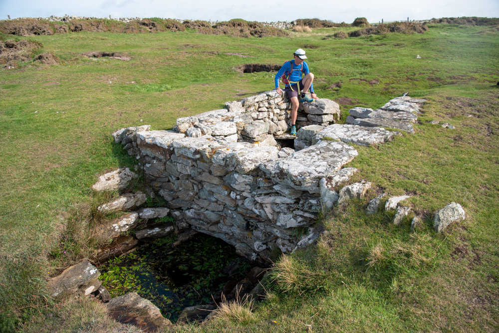
St Gwenfaen's Well Holy Island Anglesey
