
No activities have been added for this island yet.
Nornour
Share via...
49.954852, -6.261778
About Us

Hi and welcome to Islandeering Islandeering is for people who want adventure in Britain’s wild blue spaces – our rivers, coast, lakes, canals and islands. You will find amazing walks, paddles and swims in the UK’s most special places, those recognised for outstanding natural beauty, incredible geology or special and abundant wildlife.
Learn More
Learn More
Distance: 500 metres
Difficulty: Easy
Method: Walking
Wow Factor: 10 out of 10
Key Facts
- Location: Eastern Isles, Isles of Scilly
- Size: 1.6 hectares
- Terrain: Beach and small path through bracken
- Access: Kayak, boat
- Height gain: 23 metres
- Map: OS Explorer 101
- Starting point: Landing beach (GR SV 944 147)
- Accommodation/food:
There are no facilities on Nornour but plenty in nearby St Martin’s or St Mary’s
- Island Summary:
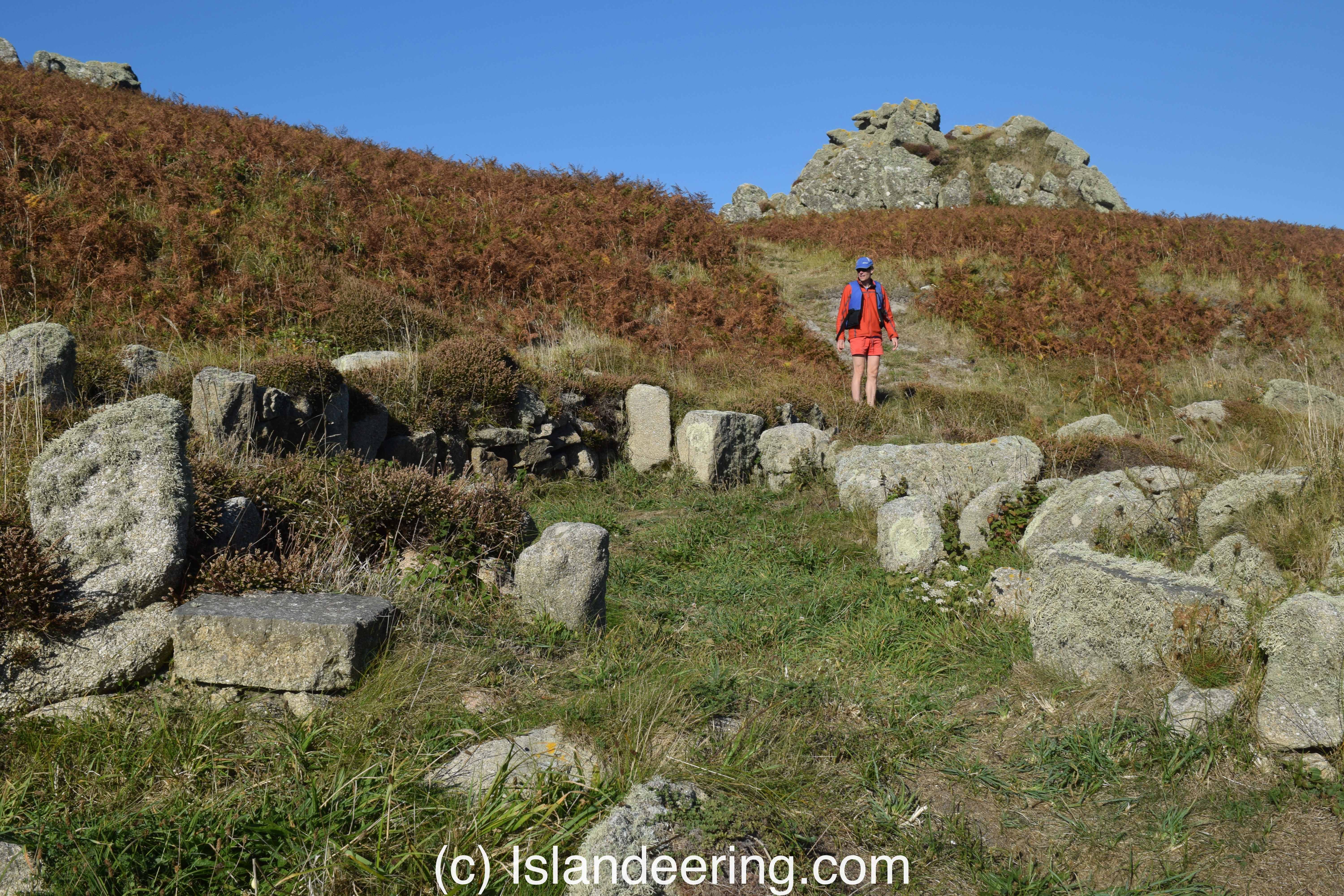
This walk on the tiny uninhabited island of Nornour, includes the astonishing ruins of an Iron Age village as well as amazing views from the island’s high point of the Eastern Isles and beyond
- Look out for:
- Ancient Ruins
- Stunning views from the highpoint
- Swimming with seals
- Route description:
The walk on Nornour starts on the landing beach, near the south west corner of the island. Head uphill, along the faint path north of the ruins to climb to the high point. At low tide it is also possible to cross the rocky tombolo to reach Great Ganilly
- Getting there:
Nornour may be visited as part of a guided tour with Scilly’s resident historian Dr Katherine Sawyer of Scilly Walks. Otherwise kayak or hire a boat
Join our Islandeering community
We continuously find new islands, rivers, lochs, canals and coast to walk, SUP and swim in and meet plenty of great folks along the way. Join our community to get new routes and adventures, latest blogs and news by using the email box below. Tune in also to our Facebook and Instagram pages to see where we are going next.

Share via...
Gallery
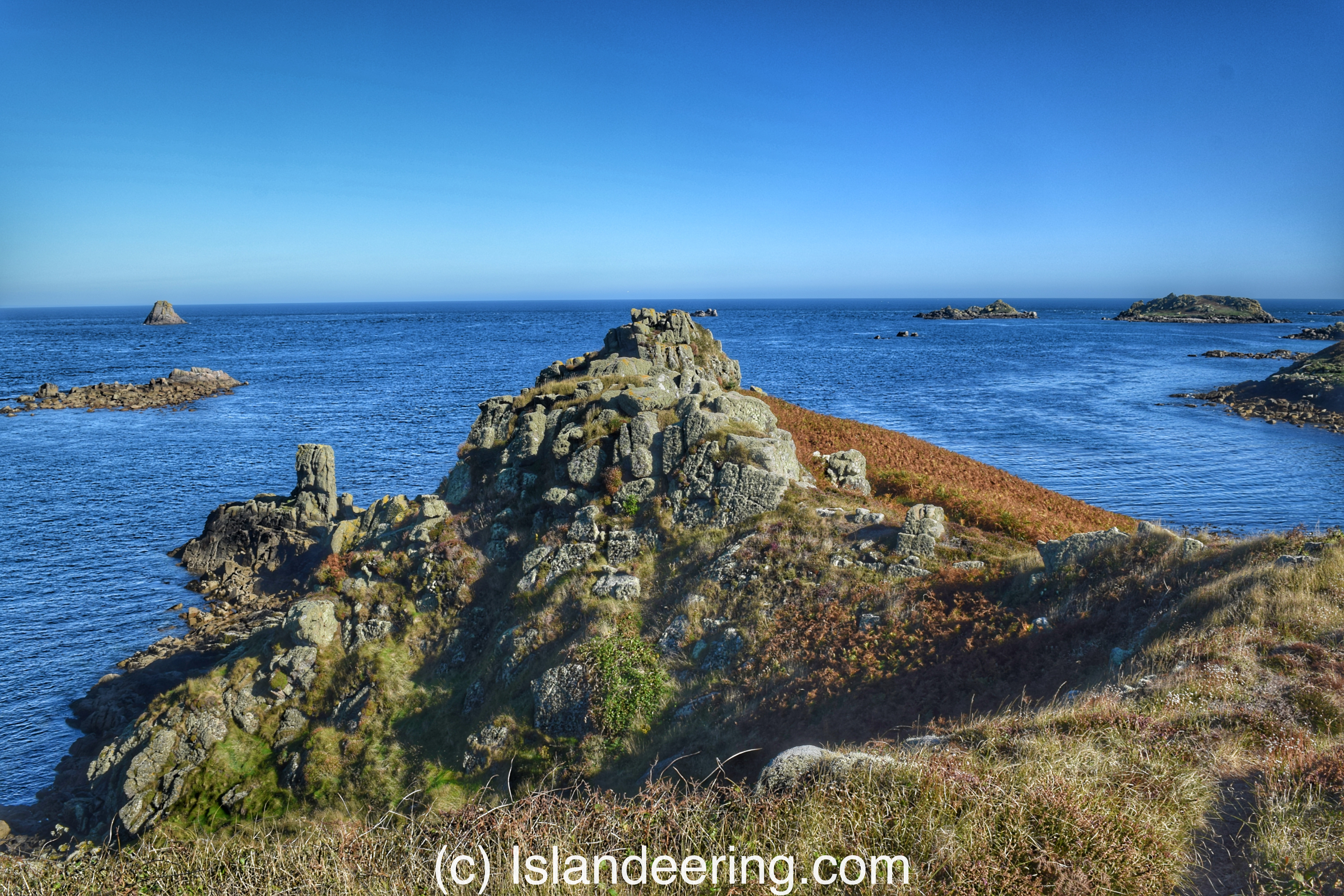
View of Nornour's highpoint
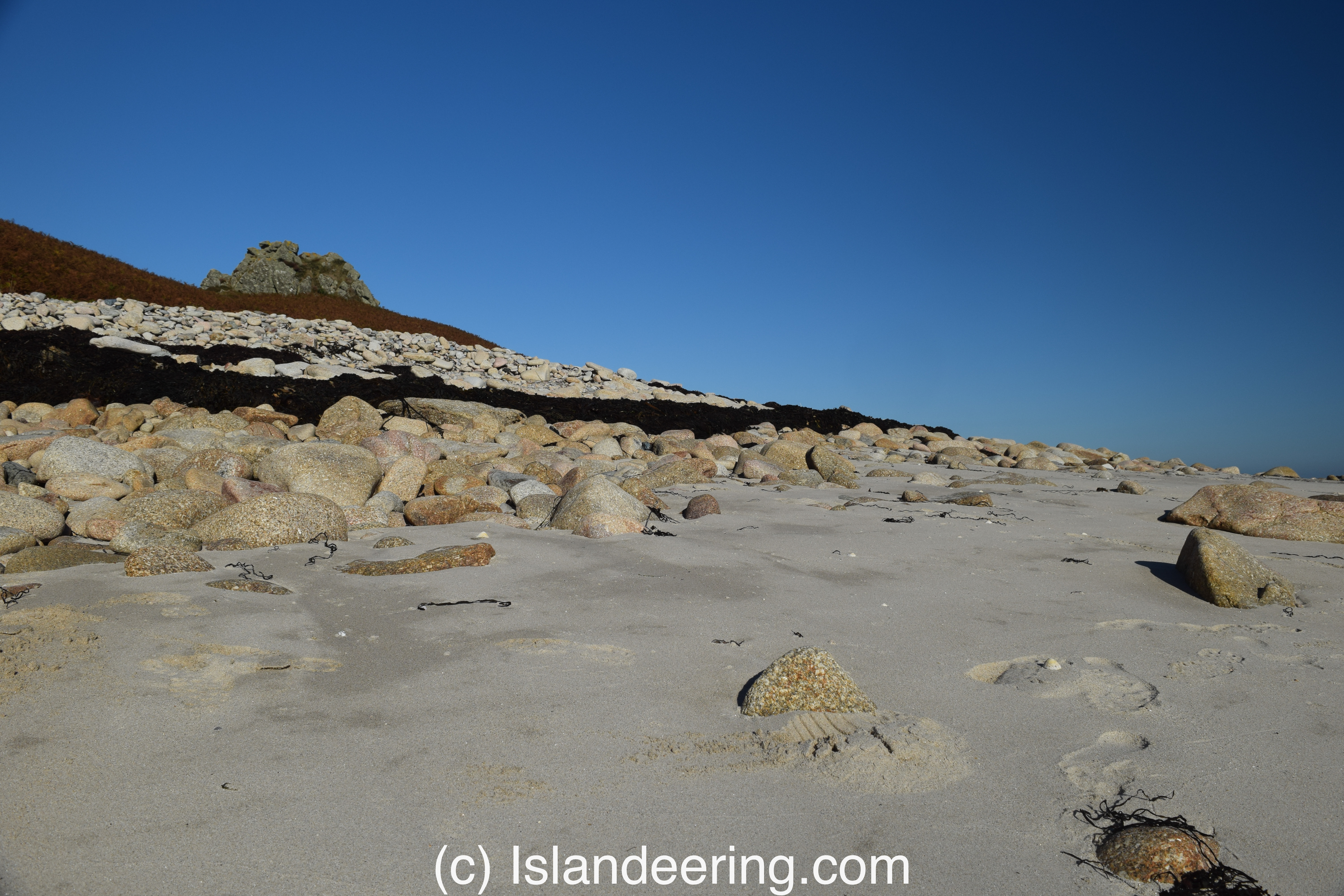
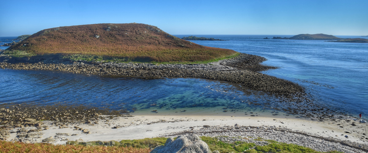
Nornour's beach, Scilly
Nornour's Iron Age houses
