Porth to Watergate Bay walk
A stunning low tide and South West Coast path walk exploring the islands around Newquay
Learn More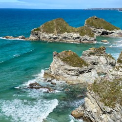

A stunning low tide and South West Coast path walk exploring the islands around Newquay
Learn More

Newquay is stacked with accommodation and eateries of every kind. There is an ice-cream kiosk at the start/end of the walk.
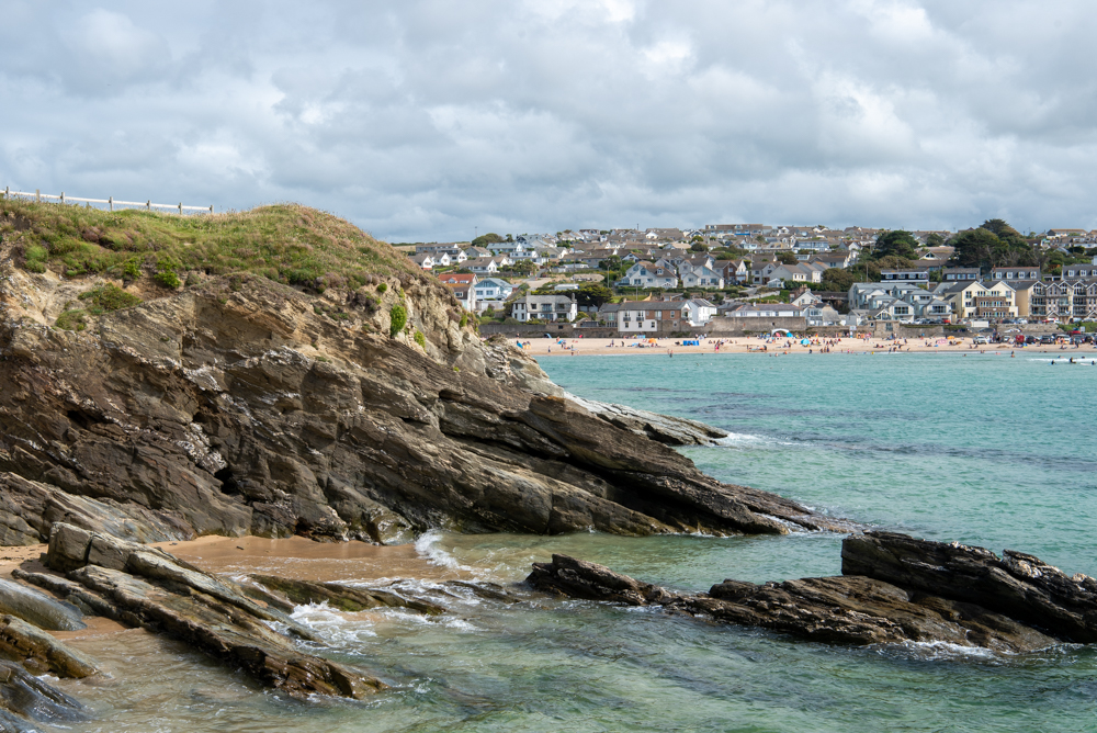
Porth islands sits above Porth Beach – one of the most popular in Newquay. The island boasts an Iron Age promontory fort, two Bronze Age round barrows and evidence of Iron Age smelting along with some great natural features including a blowhole.
All can be seen on this circular walk around the island which offers fabulous views of Porth Beach and across to Newquay Bay.
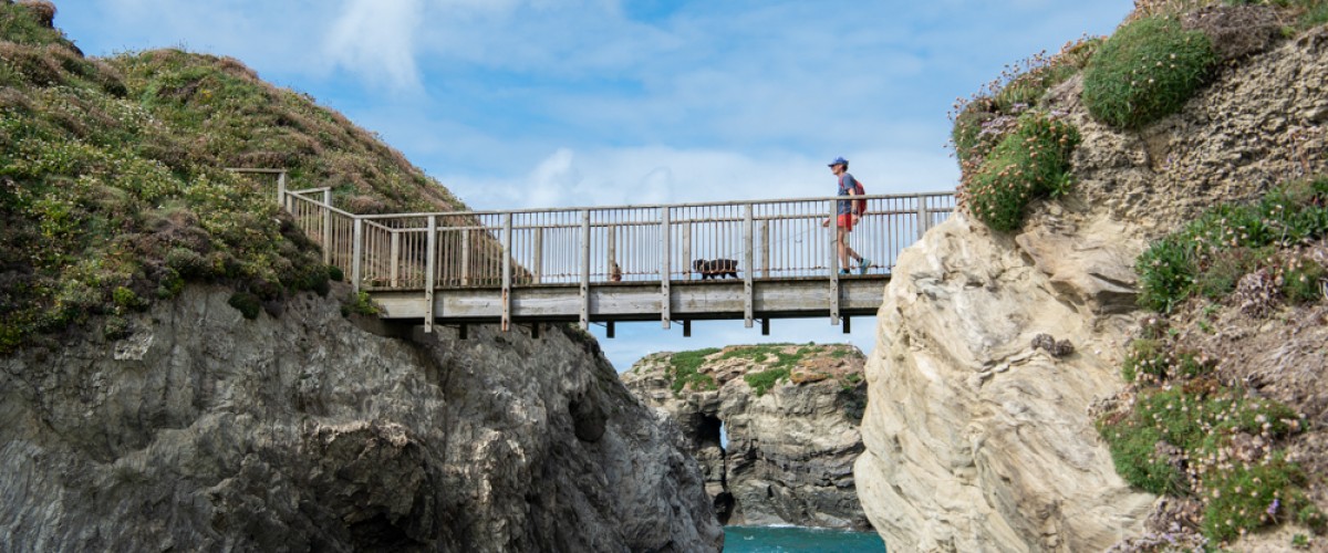
The walk around Porth Island starts at the Newquay Football Gulf centre, just off the B3276, and heads west along the South West Coast Path to the footbridge over the steep rock gully to Porth Island proper. Here, the route follows the perimeter of the island before returning to the footbridge and then heading north east to follow the coast path back to the B3276, with a short walk along the road back to the start.
We continuously find new islands, rivers, lochs, canals and coast to walk, SUP and swim in and meet plenty of great folks along the way. Join our community to get new routes and adventures, latest blogs and news by using the email box below. Tune in also to our Facebook and Instagram pages to see where we are going next.

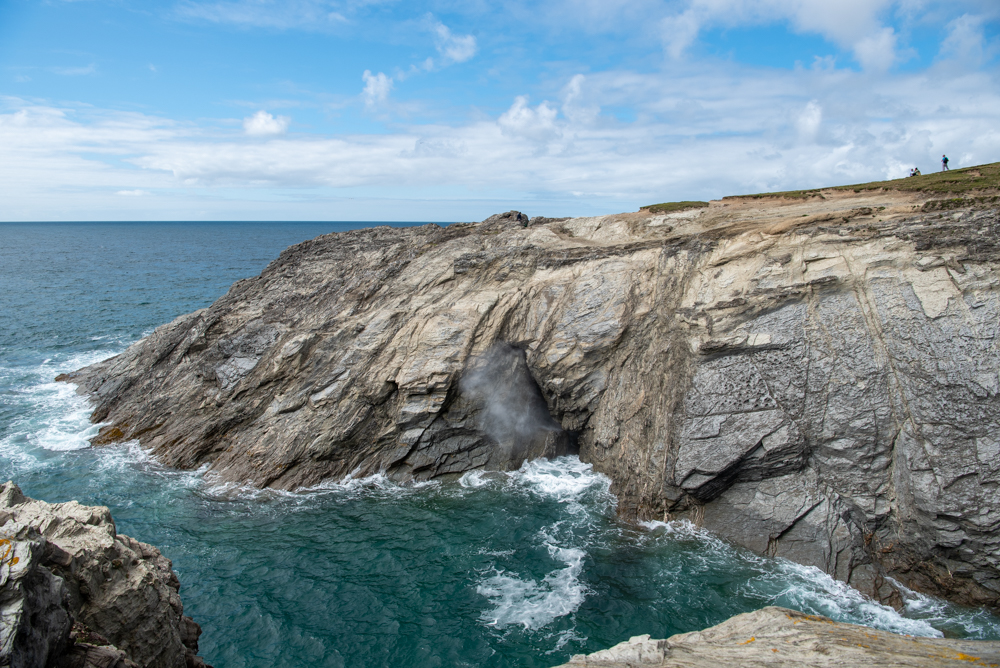
Porth Island blowhole
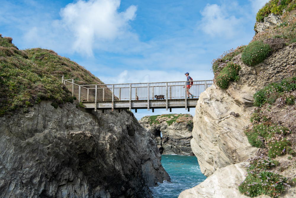
Porth Island footbridge
Porth Beach
