Days 12 -17 of our virtual island bagging Britain journey
Last 5 days step-up height achieved: 6082 metres
We are week 5 of lock down and the team have been busy accumulating their step-up height. We are using the equivalent height gain to virtually bag the high points of the islands of the British Isles. We started with the islands of the Channel Islands, worked our way up the east coast of Britain and then bagged all the island peaks of Orkney, Shetland and then from Duncansby Head to Ullapool.
With our height gain so far we are now in the Outer Hebrides and the Atlantic Outliers. For fun, this blog takes you along with us on this virtual journey climbing the high points with us as we go (incidently we have climbed many of these peaks and made these journeys life before COVID).
The story continues….
Arriving in Stornaway five days ago, we popped into Charles MacLeod Butchers to stock up on the famed Stornaway black pudding, had a quick scoot around the Lews Castle Grounds on the parkrun circuit, popped into the castle to see the Lewis Chessmen and then headed off down the east coast of Lewis and Harris and bagged all the islands we found on the way (570m).
We dodged the menacing Blue Men of the Minch and kayaked over to the Shiant Isles (68m), 6.5km east of Lewis, and home to one of the most important breeding colonies for seabirds in Europe. We spent the night in the remote and basic cottage alongside 10 per cent of UK puffins and 7 per cent of the UK’s razorbills. Charlie had lost one of his earplugs, so didn’t sleep well at all.
Back to mainland Lewis in the morning, we went straight onto Scalpay (59m). We spotted minke whales and white-beaked dolphins from the decks of the Eilean Glas lighthouse, no wonder this is on the Hebridean Whale Trail, before a delicious lunch of local hand-dived scallops, langoustines and prawns in the island’s Café Bistro.
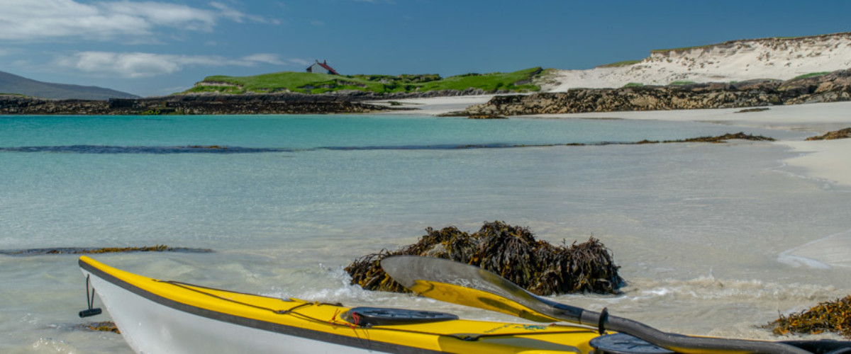
We had to scoot over to the west coast via one of the most stunning sections of the 251 km Hebridean Way to then kayak out to Taransay. This always has been one of our favourite islands with its extraordinary white sand beaches, diving fairy terns and a climb of Bein Ra (267m) – it’s a favourite of Ben Fogle’s too. Back in Harris we had a quick Harris Gin and on the decking of the Machair Kitchen, Talla na Mara. The rippled blue glass of the distinctive bottle had a possessive effect on me, much like the ring and Frodo, making it hard for me to put it down.
We camped the night at Seilibost School, a campsite operated by the West Harris Trust, overlooking the legendary Luskentyre Beach in the distance.
Staying on Lewis’s west coast we had a quick trip north to Scarp and another incredible white sand beach. We ran up Sron Rumol (308m) for a viewpoint of the whole island and the Sound of Scarp , once used in a failed experiment to send mail to Lewis via a rocket. We had a quick poke around in the ruined buildings here and then bagged all of the other islands in the vicinity (236m).
Back to mainland Harris and the highpoint of An Cliseam (799 m), the highest point in the Outer Hebrides, sadly we didn’t have the time to do the whole, spectacular horseshoe walk as we had to climb Mealaisbhal (495m) in Lewis before breakfast.
We worked our way north to complete the west coast islands of Lewis (1104 m) the largest island of which is Great Bernera with its highpoint (87m) south of the stunning Bostadh Beach with its reproduction Iron Age house and unique tidal bell. An island with a passionate history and strong community spirit this is the island where a riot changed crofting history forever and innovated to bring fresh lobsters to markets down south.
Next up we hopped onto a Sea Harris Tour boat out of Leverburgh to travel to the high points of The Atlantic Outliers. First the Northern Isles (226 m) then the Flannan Islands (404m) which are also known as the Seven Hunters and are about 32 km west of the Isle of Lewis. These islands are the location of an enduring mystery that occurred in December 1900, when all three lighthouse keepers vanished without trace. There is a gannetry on one of the islands here which, from the late Middle Ages, Lewismen regularly raided for eggs, birds, and feathers. Derek, being a bit of a Peter May fan and solving crimes, spent ages on Eilean Mòr – the location of a murder central to the plot of one of his books, Coffin Road, to check if the details of the murder investigation were correctly reported.
Then the finale of the day, the St Kilda archipelago (1012m) including Hirta’s Mullach Mor (430m) on a walking circuit through the deserted village street and the cliffs out to Oisebhal and Boreray (384 m), the smallest Scottish islands to have a summit over 300 metres.
Finally we arrived in Rockall (17m), 300 km from St Kilda – Charlie and Derek went by boat but with my dodgy sea-legs I used Starship Enterprise’s energiser to avoid the inevitable and got their a few minutes ahead of them. This must be the most isolated rock in the British Isles (we won’t get into a debate over who does/doesn’t lay claim to it). Fewer than twenty individuals have ever been confirmed to have landed on Rockall – I think more have been to the Moon. We took it in turns to bag the island – as there wasn’t much space for all of us to be honest and we didn’t want a nasty accident to burden the NHS with on top of everything else they had to do.
Back to Leverburgh for a chat with Chris, owner of the Butty Bus, before heading off to Rodel to see St. Clement’s Church and pick up some seaweed roast potatoes, crispy beer battered squat lobster and the pan fried mackerel roll from Sam’s Seafood Shack to eat at our wild camp on the coast. The sun set perfectly illuminated the islands of the Sound of Harris and North Uist beyond – it was great to see where we were heading next.
Cumulative total of island bagging height – Cumulative total of 19,432 m (target total = 47,838 metres)
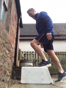
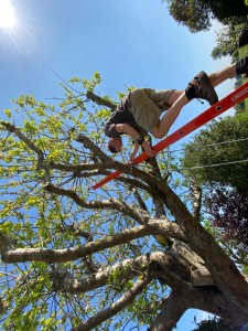
Method of travel – climbing a ladder up the apple tree in the garden; step ups on a Belfast sink; indoor staircase