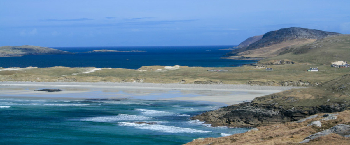
Vatersay's ancient ruins & horrible histories

Inhabited since Neolithic times the imprints of history on this island tells a tale of the famed Vatersay Raiders, shipwrecked souls and aviation tragedy

Learn More

Vatersay's wildlife

Otters, eagles and rare flowers

Learn More

Vatersay beaches & wild swimming

Swim, paddle, relax on the best of Hebridean beaches

Learn More

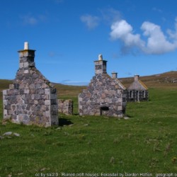
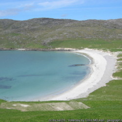
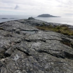
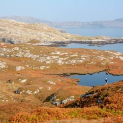
Hike to Vatersay's high points

Climb Vatersay's high points to get incredible views of the southern Hebridean islands

Learn More

Island overview

Find out the best that Vatersay has to offer

Learn More
56.931705, -7.539883

About Us

Hi and welcome to Islandeering Islandeering is for people who want adventure in Britain’s wild blue spaces – our rivers, coast, lakes, canals and islands. You will find amazing walks, paddles and swims in the UK’s most special places, those recognised for outstanding natural beauty, incredible geology or special and abundant wildlife.
Learn More

Join our Islandeering community

We continuously find new islands, rivers, lochs, canals and coast to walk, SUP and swim in and meet plenty of great folks along the way. Join our community to get new routes and adventures, latest blogs and news by using the email box below. Tune in also to our Facebook and Instagram pages to see where we are going next.
Distance: 22.1 km
Difficulty: Moderate
Method: Walking
Wow Factor: 9 out of 10

Key Facts

  • Location: South of Barra, Outer Hebrides
  • Size: 960 hectares
  • Terrain: Free range on faint paths; some easy scrambling and route finding around steep rocky inlets
  • Access: Road bridge
  • Height gain: 546 metres
  • Map: OS Explorer 452
  • Starting point: South end of the causeway. Lat/Long 56.945966, -7.533267. GR NL 63680 97489
  • Accommodation/food:

    Vatersay Community Hall Café at the north end of the tombola for simple but adequate refreshments and toilets. Open during summer months only and is probably best to check otherwise all food and water should be taken.

  • Island Summary:

    Vatersay lies to the south of Barra across the Sound of Vatersay and is the most southerly inhabited island of the Outer Hebrides and also the most westerly inhabited place in Great Britain. It is almost split into two islands with the hilly north joined to the hilly south by a low-level tombola that has two long beaches on either side of the dunes. The friendly main settlement on Vatersay sits at the southern end of the tombola, with the seasonal Community Café at its north end.

  • Look out for:
    • Spotting otters along Vatersay Sound
    • A secluded swim at the stunning Bàgh a’ Deas
    • Navigating around the deeper inlets of the heavily indented coastline
    • Hand-dived scallop pakoras at the Café Kisimuls on nearby Barra
    • Feeling of true isolation at the western tip of the inhabited British Isles
  • Route description:

    This is a longer walk that mostly follows faint animal paths that criss-cross the machair, grass, rocks and rough grazing on the edge of this island. There are easy scrambles on each of the headlands with stunning beach crossings at Tràigh Bhàrlais, Tràigh Siar and Bàgh a’ Deas. The coastline is deeply indented and provides plenty of opportunities to explore the deep shafts and rock pools for their rich sea life. The island can also be walked in two shorter sections by using the beach carpark on the tombola as the staring point.

  • Getting there:

    From Barra drive south to the Vatersay causeway where there is plenty of parking. By bus Vatersay is linked to Castle Bay by the W33 Monday to Saturday.

Download file for GPS

Gallery